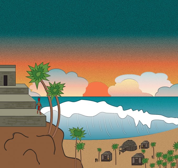
BOULDER, COLORADO—A study conducted by the University of Colorado, Boulder, and Mexico’s Centro Ecological Akumal (CEA) suggests that the Yucatan Peninsula may have been hit by a tsunami of two or three giant waves between 1,500 and 900 years ago. A large, wedge-shaped berm at least 30 miles long and made up of large stones has been found some 15 feet above sea level. The boulders on the face and top of the berm are composed of coral and fine-grained limestone. “The force required to rip this reef material from the seafloor and deposit it that far above the shoreline had to have been tremendous. We think the tsunami wave height was at least 15 feet and potentially much higher than that,” said Larry Benson, an adjunct curator of anthropology at the University of Colorado Museum of Natural History. Structures were built by the Maya between A.D. 900 and 1200 on top of the berm. Other “outlier berms” made of layers of coarse sand and small and large boulders have been found along 125 miles the Yucatan coast. “I think there is a chance this tsunami affected the entire Yucatan coast,” Benson added. He and CEA scientist Charles Shaw think that additional evidence for a tsunami could be found in sediment cores from mangrove swamps along the coast. To read about a recently excavated Maya site, see "Tomb of the Vulture Lord."


