Drones Help Find Medieval Irish Sites

News August 19, 2015

(Paul Naessens, Western Aerial Survey)
SHARE:
ireland drone photo
(Paul Naessens, Western Aerial Survey)

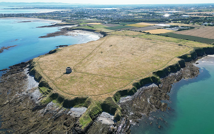
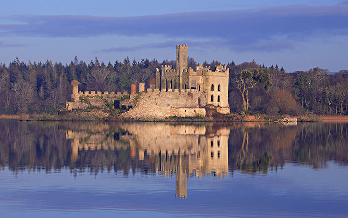
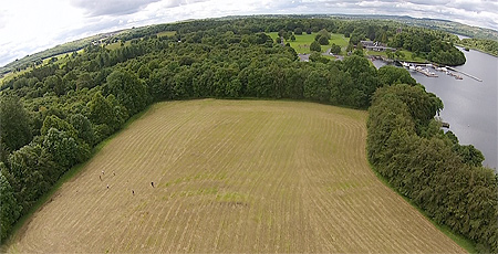
ST. LOUIS, MISSOURI—Thomas Finan, an archaeologist and history professor at Saint Louis University, has conducted excavations in the northern part of Ireland’s County Roscommon over the last two decades at sites including an ecclesiastical complex, a moated stronghold, and a number of ringforts. In addition to other technologies, he is now using aerial surveys taken by drone aircraft to help locate new dig sites with the potential to illuminate medieval social dynamics in the area. "We have collected an unprecedented amount of digital data," Finan said in a press release. "The 3D landscape data allows us to see minute changes in the topography that can be defined as structures and human occupation. The digital data collected with the geophysics is then wrapped around that 3D data to give us an amazing understanding of what is there without sinking a spade." To read about new ideas on when the Vikings came to Ireland, go to “The Vikings in Ireland.”

  • Features July/August 2015

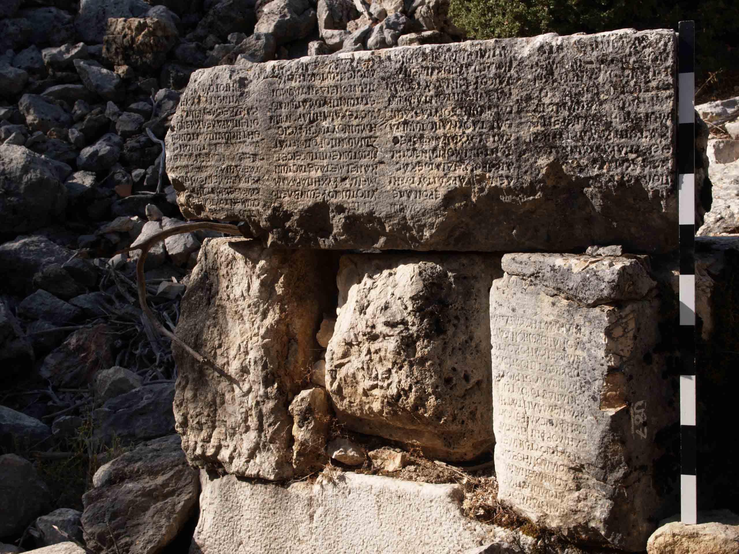
    In Search of a Philosopher’s Stone

    At a remote site in Turkey, archaeologists have found fragments of the ancient world’s most massive inscription

    Read Article
    (Martin Bachmann)
  • Letter from Virginia July/August 2015

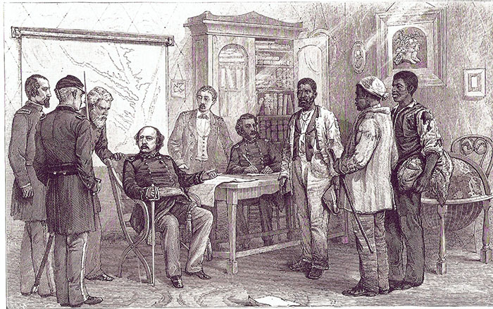
    Free Before Emancipation

    Excavations are providing a new look at some of the Civil War’s earliest fugitive slaves—considered war goods or contraband—and their first taste of liberty

    Read Article
    (Library of Congress)
  • Artifacts July/August 2015

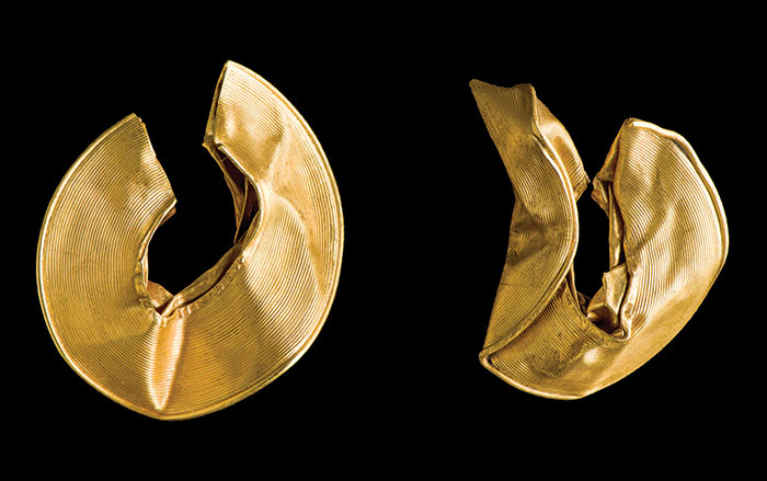
    Gold Lock-Rings

    Read Article
    (Courtesy Amgueddfa Cymru-National Museum of Wales)
  • Digs & Discoveries July/August 2015

    A Spin through Augustan Rome

    Read Article
    (Courtesy and created at the Experiential Technologies Center, UCLA, ©Regents of the University of California)