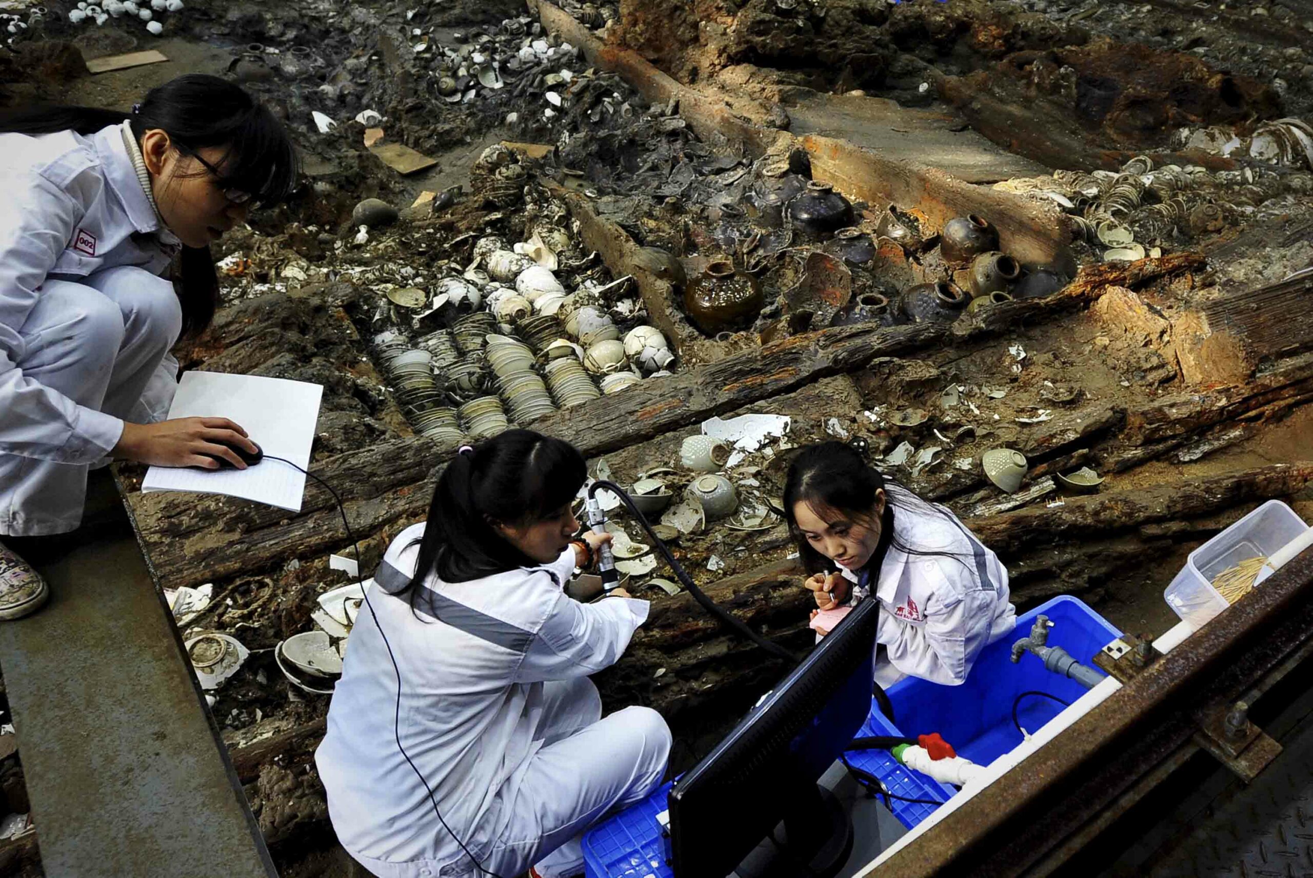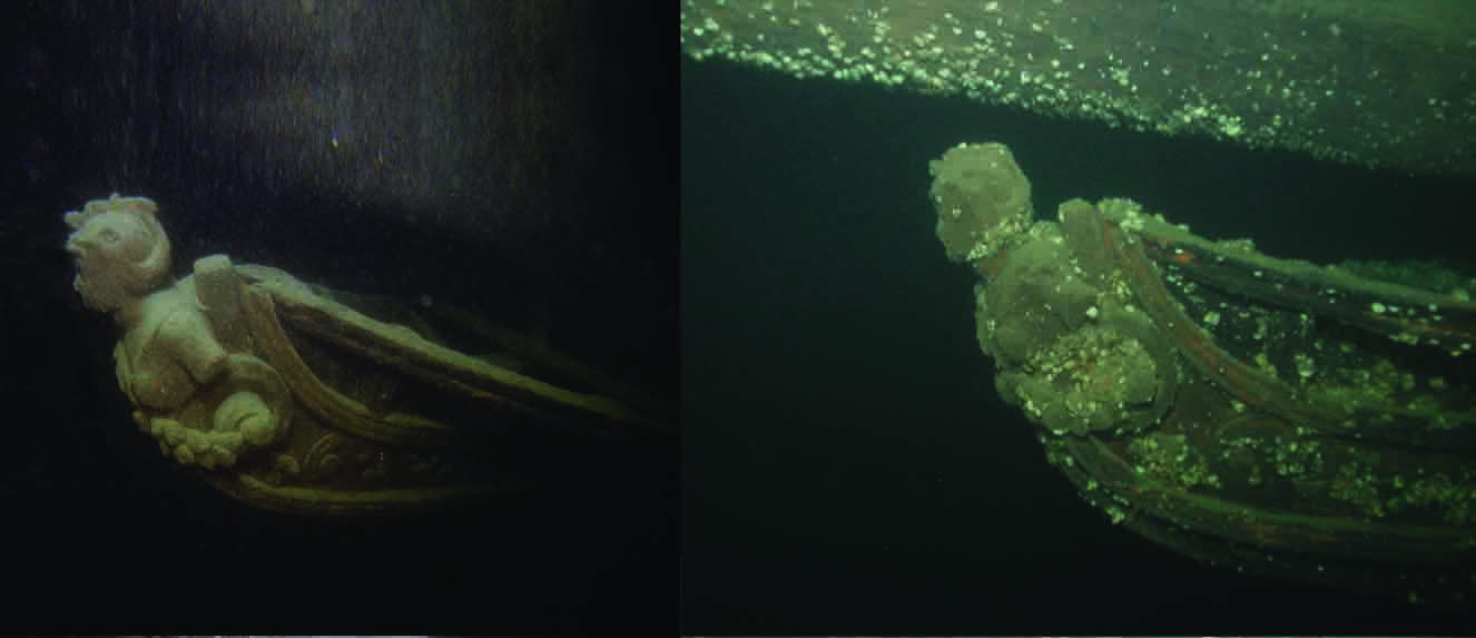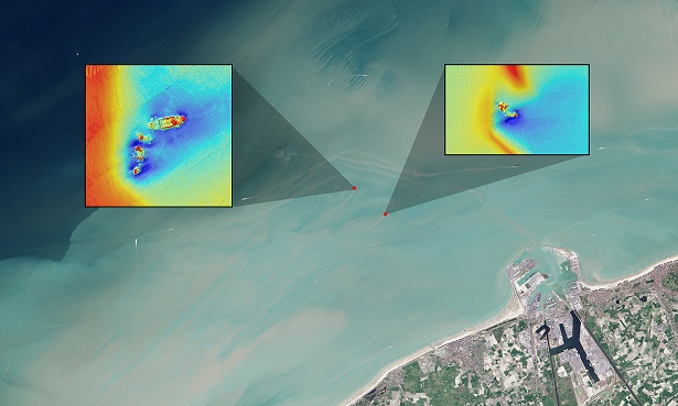
GREENBELT, MARYLAND—Matthias Baeye and Michael Fettweis of the Royal Belgian Institute of Natural Sciences, Rory Quinn of Ulster University, and Samuel Deleu of Flemish Hydrography, Agency for Maritime and Coastal Services, have developed a low-cost way to detect shipwrecks close to shore, according to a press release from NASA. They used freely available Landsat satellite data and tidal models to follow sediment plumes extending from four known wreck locations near the Belgium port of Zeebrugge. Those wrecks had been recorded in a detailed multibeam echosounder survey conducted by the Flemish government. They found that exposed parts of two of the shipwrecks collected sediments during slack tides. The sediments were then re-suspended during ebb and flood tides, creating sediment plumes that could be traced when they reached the surface. The researchers suggest that uncharted shipwrecks could be found by mapping sediment plumes and following them upstream to their point of origin. For more, go to "History's 10 Greatest Wrecks..."