New Technique May Identify Vulnerable Temples at Angkor

News March 6, 2017

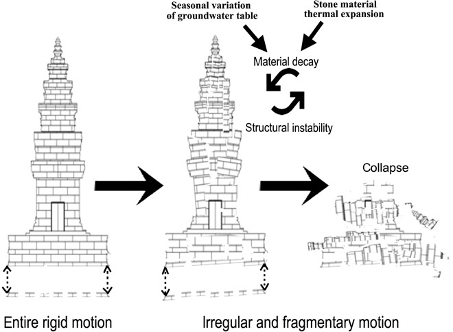
(Creative Commons License, Chen et al. Science Advances 2017;3:e1601284)
SHARE:
InSAR measuring monuments
(Creative Commons License, Chen et al. Science Advances 2017;3:e1601284)

BEIJING, CHINA—Live Science reports that a new technique could help scientists predict when buildings at Angkor and other UNESCO World Heritage sites are susceptible to collapse and even prevent small shifts in the structures that can cause damage. Fulong Chen of the Institute of Remote Sensing and Digital Earth at the Chinese Academy of Sciences and a team of researchers used InSAR, or synthetic aperture radar interferometry, and high-resolution satellite imagery, to measure millimeter-scale changes to the monuments in an area measuring 14 miles by 11 miles. The scientists did not detect a threat over the two-year span of the study, but they suspect that erosion, temperature variations, and changes in the level of the groundwater, which is now being depleted by the millions of visitors to the ancient city each year, could contribute to the instability of Angkor’s ancient structures over time. For more, go to “Angkor Urban Sprawl.”

  • Features January/February 2017

    Top 10 Discoveries of 2016

    ARCHAEOLOGY’s editors reveal the year’s most compelling finds

    Read Article
  • Features January/February 2017

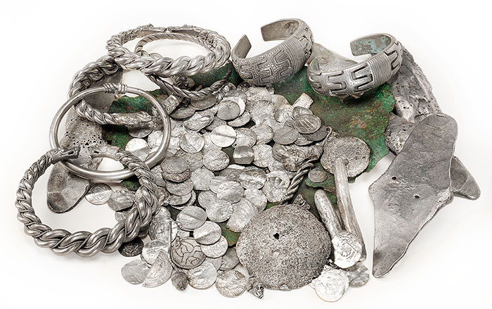
    Hoards of the Vikings

    Evidence of trade, diplomacy, and vast wealth on an unassuming island in the Baltic Sea

    Read Article
    (Gabriel Hildebrand/The Royal Coin Cabinet, Sweden)
  • Features January/February 2017

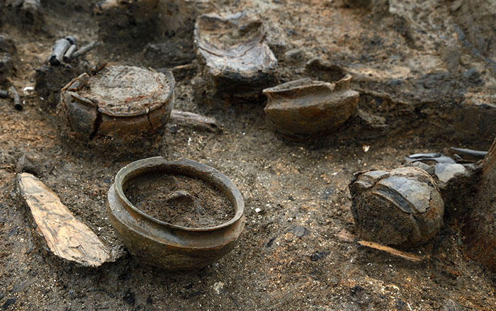
    Fire in the Fens

    A short-lived settlement provides an unparalleled view of Bronze Age life in eastern England

    Read Article
    (Andrew Testa/New York Times/Redux)
  • Letter from Laos January/February 2017

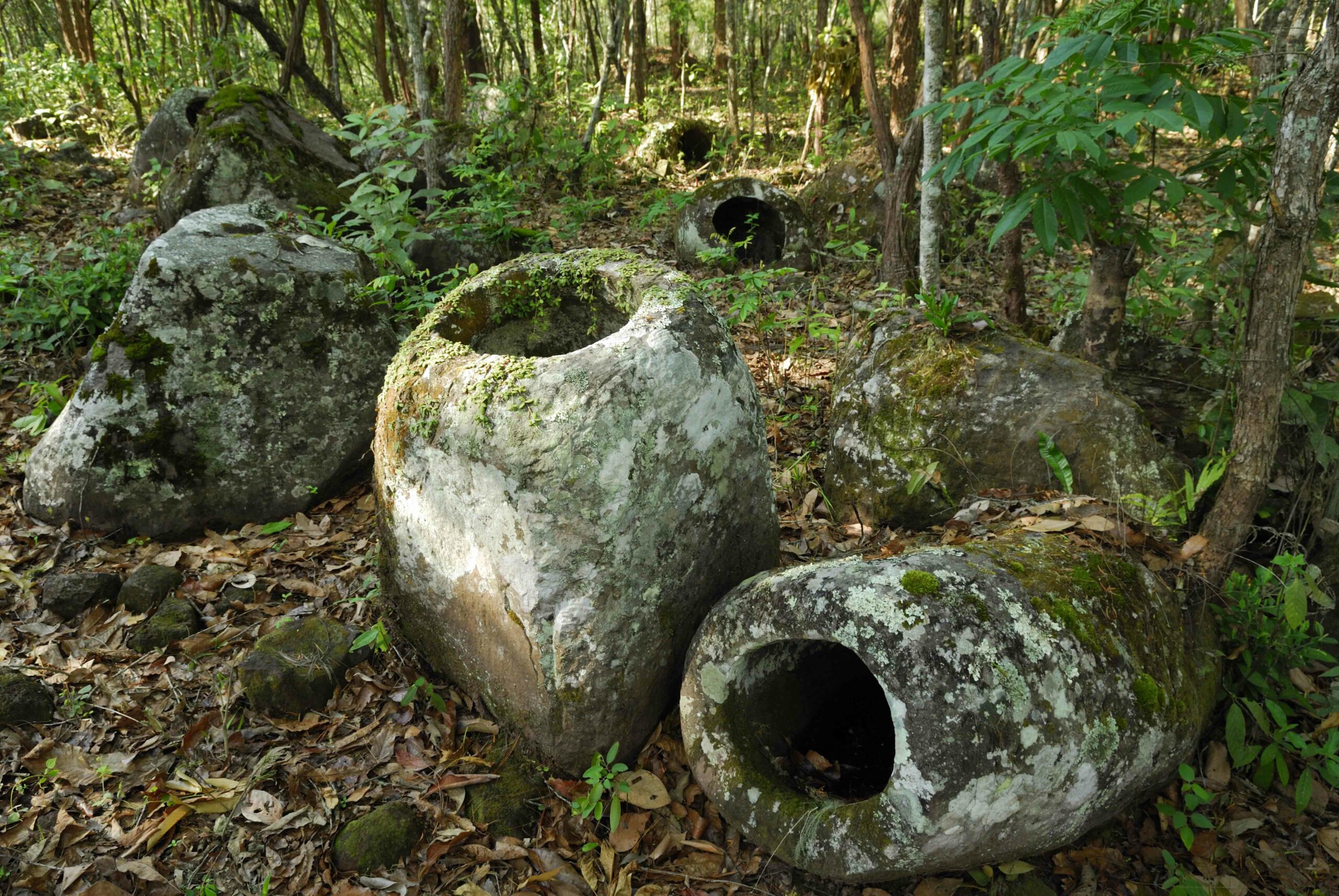
    A Singular Landscape

    New technology is enabling archaeologists to explore a vast but little-studied mortuary complex in war-damaged Laos

    Read Article
    (Jerry Redfern)