Spy Image Database For Archaeologists Expands

News June 20, 2013

(U.S. Geological Survey)
SHARE:
USGeologicalSurvey
(U.S. Geological Survey)

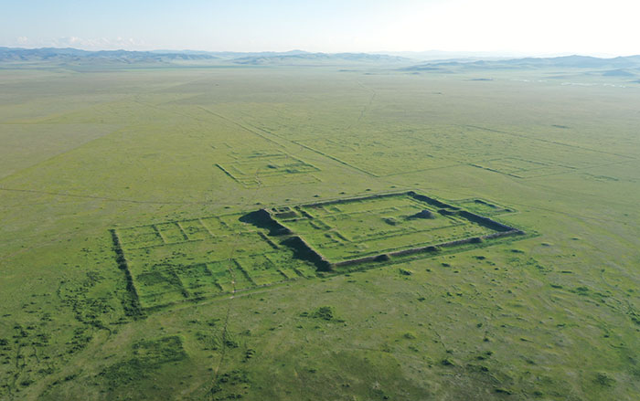
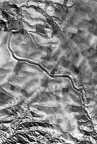
FAYETTEVILLE, ARKANSASSince the mid-1990s, archaeologists working in the Near East have been using declassified images from the Cold War-era Corona spy satellite program to hunt for new sites and help map already known ones. An online database of images of Middle Eastern countries maintained by the Corona Atlas project at the University of Arkansas in Fayetteville already contains about 1,600 images of areas that were once political hotspots. “It’s spy satellite imagery, so the more volatile the country, the more images there are,” says University of Arkansas archaologist and project director Jesse Casana. Now a new grant will allow the team to expand the database to incorporate about 3,500 more satellite images of China, Africa, Eastern Europe, and India. The images will be available to scholars and non-specialists for free. “Corona should be a right, not a privilege,” says Casana.

  • Features May/June 2013

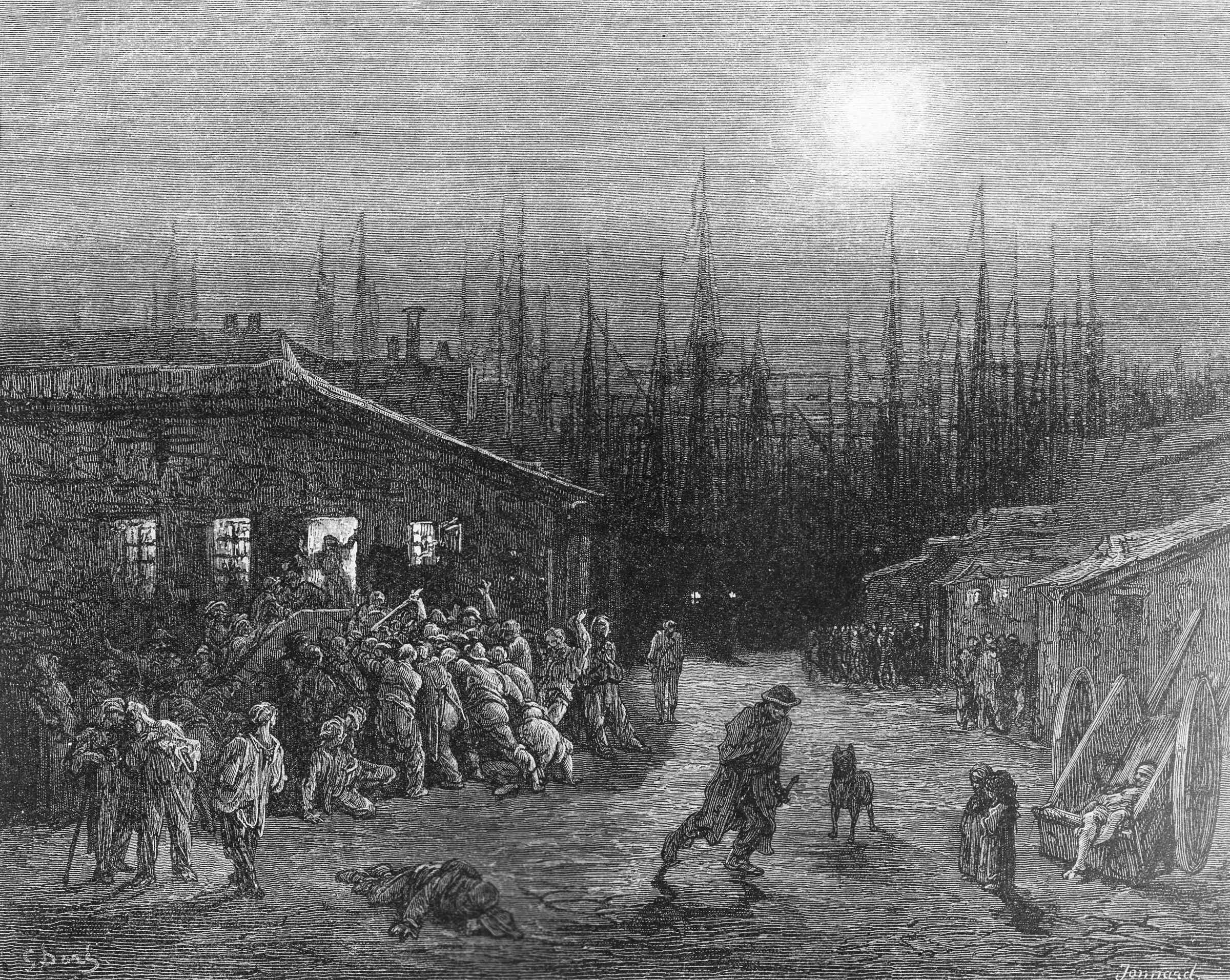
    Haunt of the Resurrection Men

    A forgotten graveyard, the dawn of modern medicine, and the hard life in 19th-century London

    Read Article
    (Private Collection/The Bridgeman Art Library)
  • Features May/June 2013

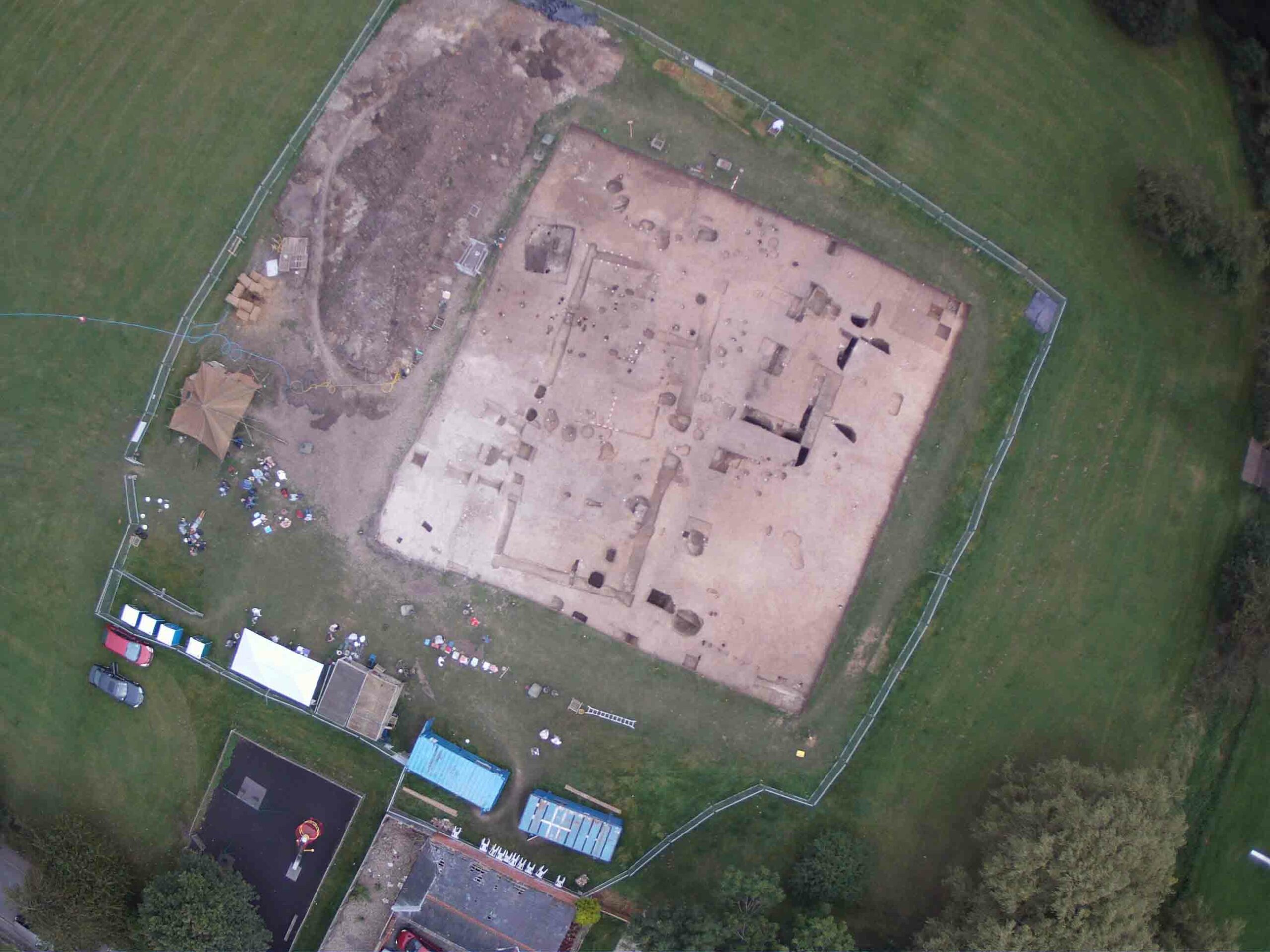
    The Kings of Kent

    The surprising discovery of an Anglo-Saxon feasting hall in the village of Lyminge is offering a new view of the lives of these pagan kings

    Read Article
    (Photo by William Laing, © University of Reading)
  • Letter from Turkey May/June 2013

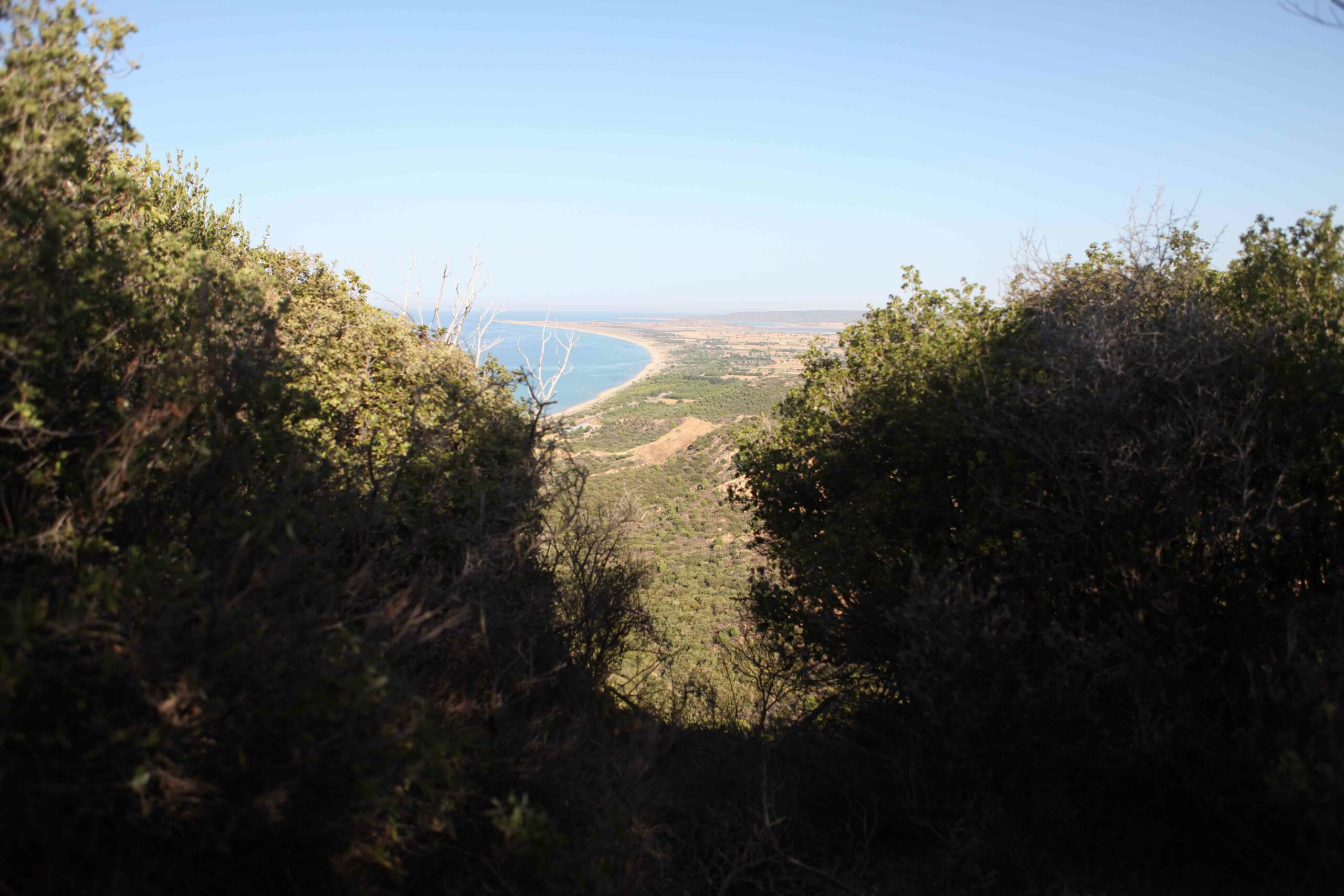
    Anzac's Next Chapter

    Archaeologists conduct the first-ever survey of the legendary WWI battlefield at Gallipoli

    Read Article
    (Samir S. Patel)
  • Artifacts May/June 2013

    Ancient Near Eastern Figurines

    Ceramic figurines were part of a cache of objects found at an Iron Age temple uncovered at the site of Tel Motza outside Jerusalem

    Read Article
    (Clara Amit, courtesy of the Israel Antiquities Authority)