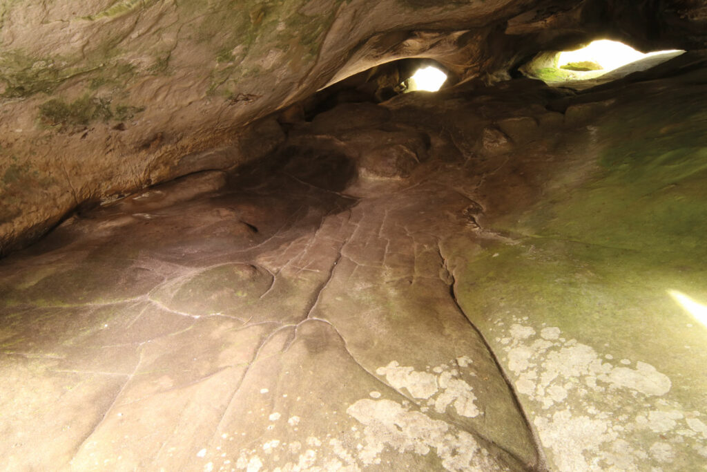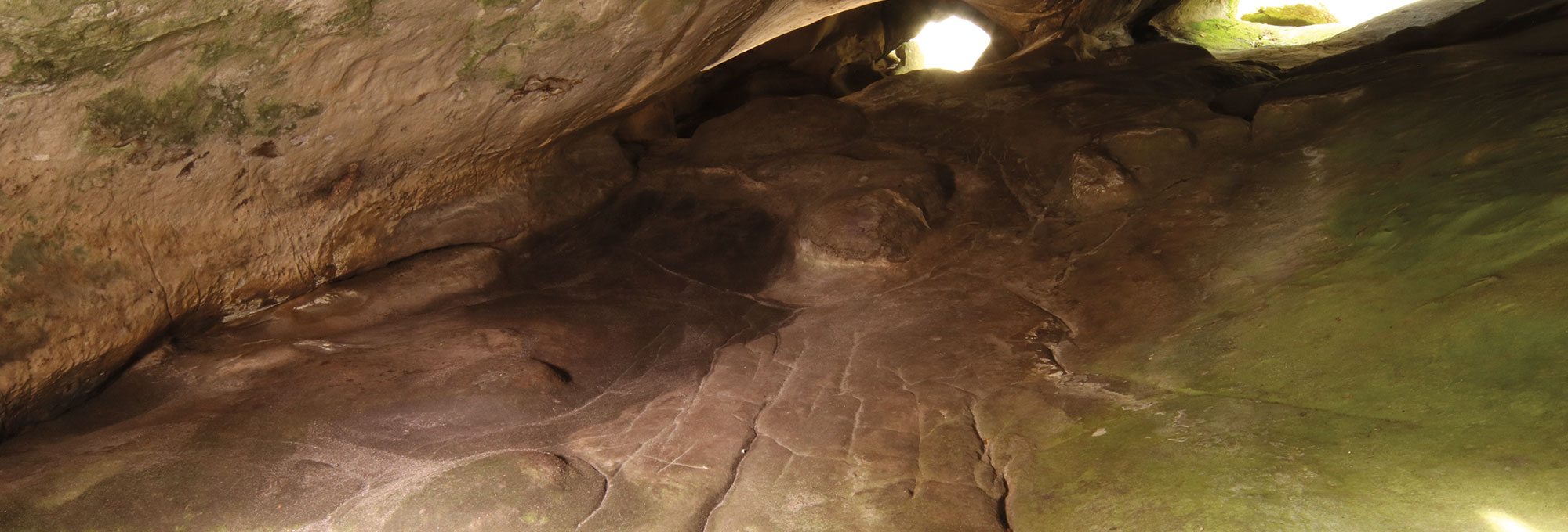
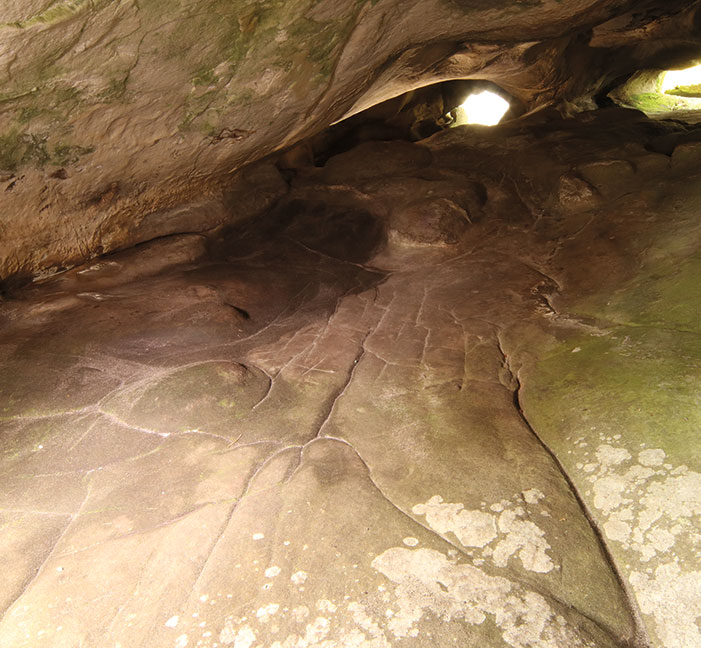
A rock shelter 40 miles south of Paris contains what researchers believe is a representation of the surrounding landscape created by Paleolithic hunter-gatherers around 13,000 years ago. Research led by geologist Médard Thiry of Mines Paris–PSL suggests that these long-ago people carved channels into the shelter’s sandstone floor that, combined with its natural undulations, produced a model of water flowing from the area’s highlands into streams and rivers that, in turn, fed lakes and swamps. “When you are looking carefully at the sandstone’s features, you can clearly distinguish what is natural and what has been modified,” Thiry says. “In this case, the floor of the shelter is marked with a lot of grooves that don’t appear to be natural.” Water would have flowed through the network after rainfall; it could also have been poured directly into the system. Thiry believes the purpose of the representation may have been to honor the role water played in people’s lives.
Before turning his attention to the floor, Thiry had identified a pair of carvings depicting horses that he has dated to around 13,000 years ago surrounding an image of a woman’s pubic area in the shelter. He believes that the landscape representation was executed around the same time. Geologist and archaeologist Vincent Delvigne of the French National Center for Scientific Research, who studies how prehistoric people understood and represented geographical space, agrees with Thiry that people carved the shelter’s floor to represent their environment, but notes that it is difficult to be sure exactly when this happened. “We have limited knowledge of how prehistoric humans represented space and landscapes,” says Delvigne.