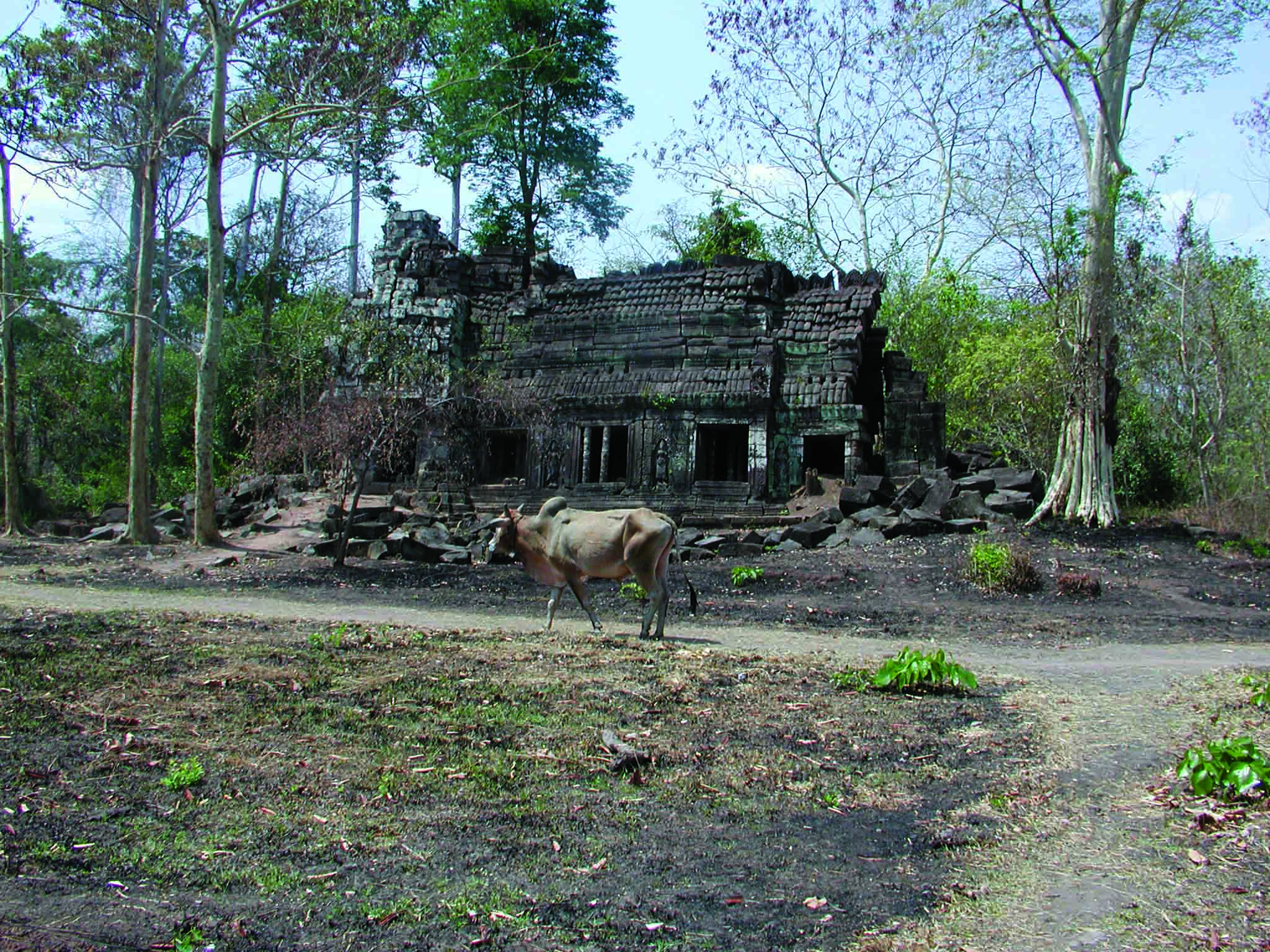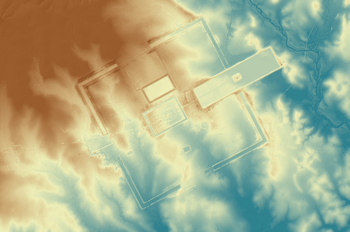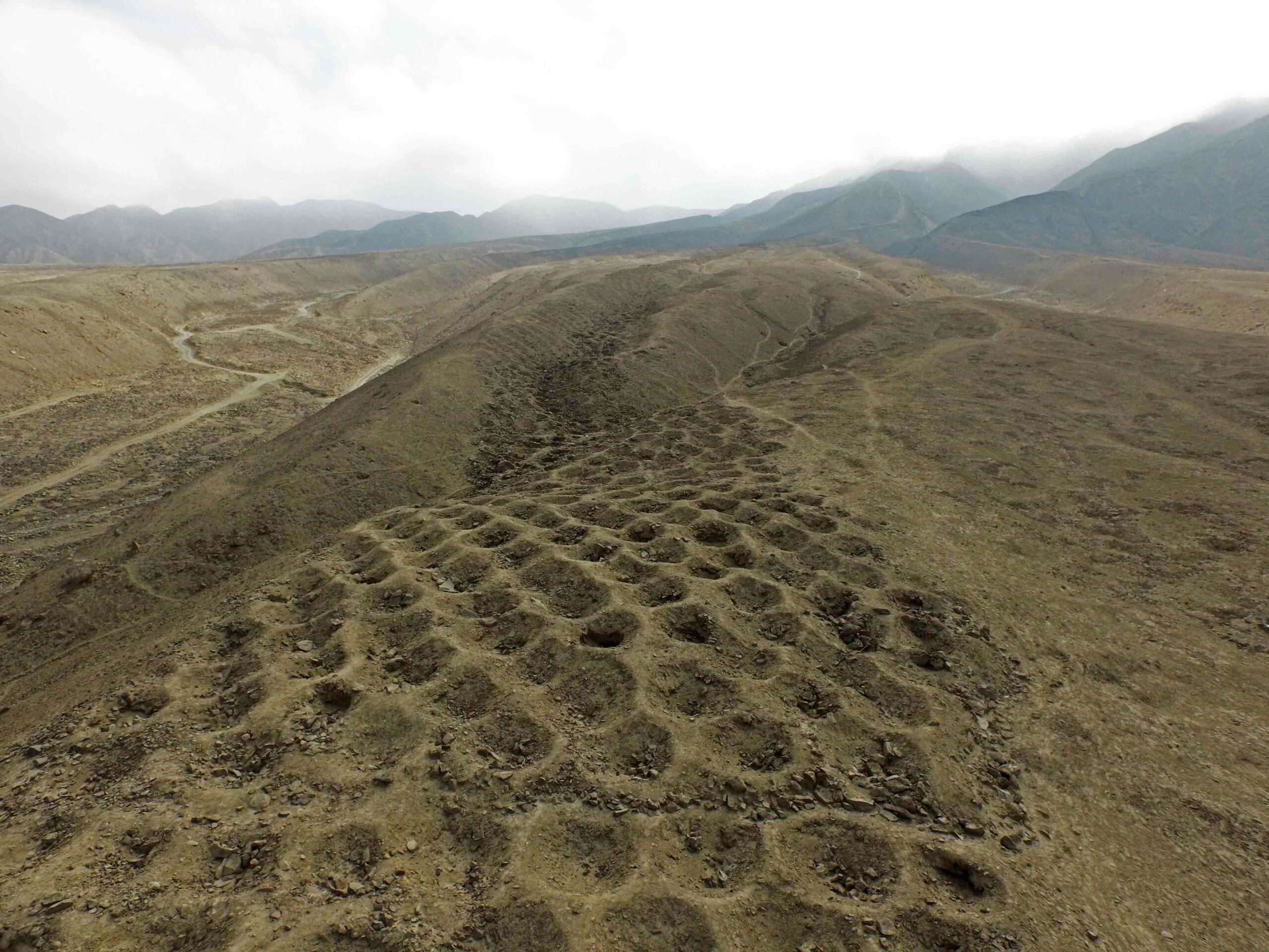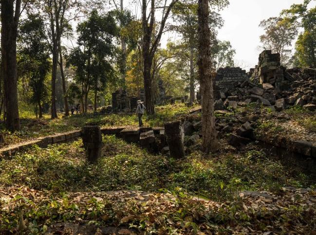
SIEM REAP, CAMBODIA—According to a report in The Guardian, analysis of data collected last year with lidar (light detection and ranging) technology over a 734-square-mile area reveals the extent of multiple cities, iron smelting sites, and a system of waterways that surrounded Angkor Wat and other medieval temple complexes built by the Khmer Empire. The results of the study, led by Australian archaeologist Damian Evans of the École Française d’Extrême-Orient and the Cambodian Archaeological Lidar Initiative, suggest that Mahendraparvata, discovered in 2012 beneath Mount Kulen, was larger than had been previously thought. Evans’ team also discovered a city surrounding the archaeological site of Preah Khan of Kompong Svay. In addition, the researchers expect that the lidar information will help them understand what has been thought of as the collapse of Angkor. “There’s an idea that somehow the Thais invaded and everyone fled down south—that didn’t happen, there are no cities [revealed by the aerial survey] that they fled to. It calls into question the whole notion of an Angkorian collapse,” Evans said. For more, go to "Letter From Cambodia: Storied Landscape."