Lidar Mapping Reveals Teotihuacan’s Ancient Landscape

News September 24, 2021

(Nawa Sugiyama)
SHARE:
Mexico Teotihuacan Lidar
(Nawa Sugiyama)

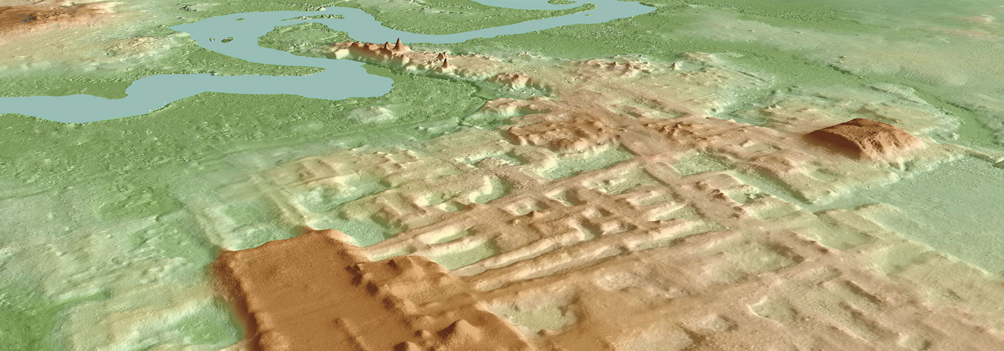
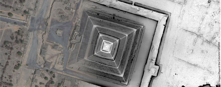
MEXICO CITY, MEXICO—According to a Gizmodo report, aerial scanning technology known as lidar has been used to investigate the eight square miles of landscape once covered by the ancient city of Teotihuacan, which was constructed between 100 B.C. and A.D. 450. Nawa Sugiyama of the University of California, Riverside, said that the city planners conducted large-scale quarrying and excavation projects, including rerouting the San Juan and San Lorenzo rivers to conform to Teotihuacan’s astronomical alignment. Some 65 percent of modern construction in the region is built on the ancient city’s alignments, she added. “These changes made nearly two millennia ago still affect how we construct our buildings, align our roads, and terrace our crops,” Sugiyama concluded. Read the original scholarly article about this research in PLOS ONE. To read about a Mesoamerican trade hub that was once under the influence of Teotihuacan, go to "Off the Grid: Chalcatzingo, Mexico."

  • Features July/August 2021

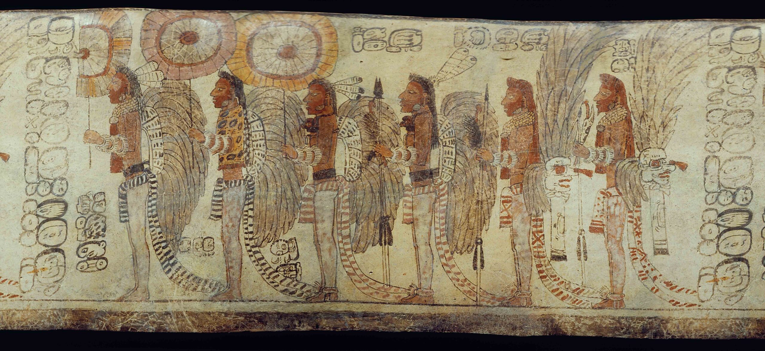
    Autobiography of a Maya Ambassador

    A grand monument and a humble burial chronicle the changing fortunes of a career diplomat

    Read Article
    (Justin Kerr, K-5763, Justin Kerr Maya Vase Archive, Dumbarton Oaks, Trustees for Harvard University, Washington, D.C.)
  • Letter from Alaska July/August 2021

    The Cold Winds of War

    A little-known World War II campaign in the Aleutian Islands left behind an undisturbed battlefield strewn with weapons and materiel

    Read Article
    (Brendan Coyle)
  • Artifacts July/August 2021

    Egyptian Copper Tools

    Read Article
    (Courtesy Martin Odler and Jiří Kmošek, Czech Institute of Egyptology, Faculty of Arts, Charles University)
  • Digs & Discoveries July/August 2021

    A Challenging World

    Read Article
    (Courtesy Yoli Schwartz/Israel Antiquities Authority)