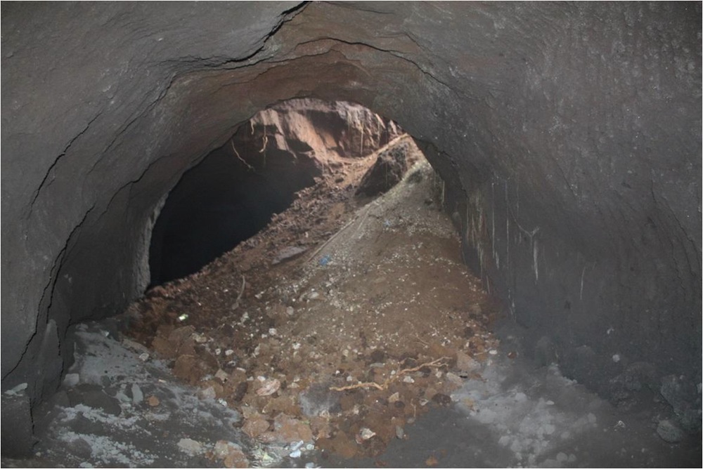
ROME, ITALY—Scientists from George Mason University and Rome’s Center for Speleoarchaeological Research are using laser 3-D scanning to map sections of the ancient quarry system beneath the city. Carved out of the volcanic tuff, some of the tunnels have been reused as catacombs, for mushroom farming, and as bomb shelters. In antiquity, the Romans were careful to keep the tunnels narrow in order to support the growing city. But erosion and generations of construction have made the tunnels unstable, and modern streets and buildings have collapsed. “What the municipality wants to do is to basically have a map of the risk so at that point they can on their side decide what kind of intervention needs to be done,” explained Giuseppina Kysar Mattietti of George Mason University.