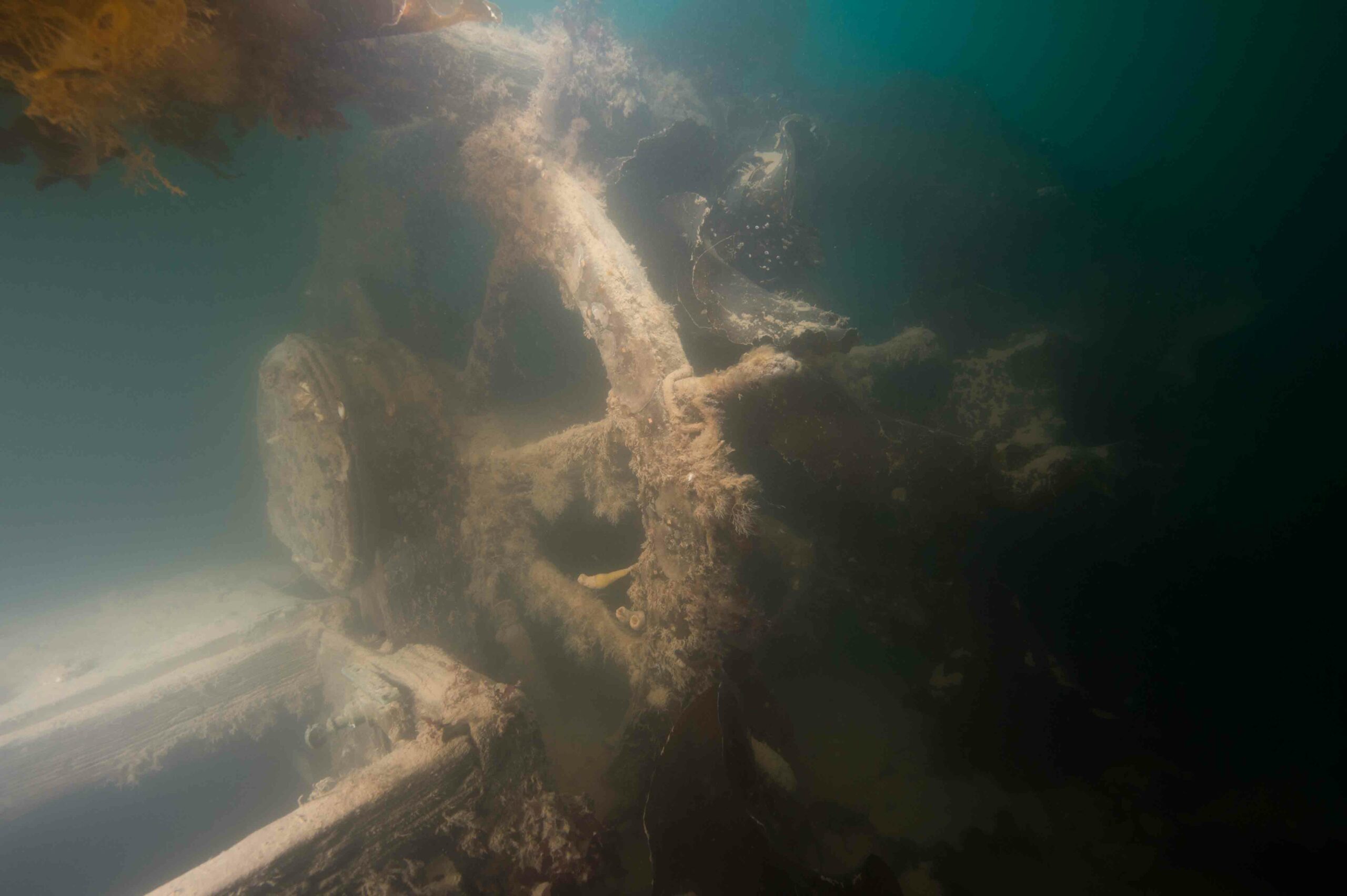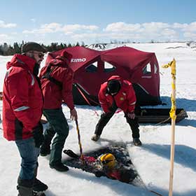
NUNAVUT, CANADA—Parks Canada underwater archaeologists and Royal Canadian Navy divers will begin to map the wreckage of the HMS Erebus later this week, while ice cover protects the site from wave action. “Without the waves stirring up the seas, all the particulate settles down to the sea floor and it creates fairly ideal clarity conditions. It’s almost like diving in an aquarium,” Ryan Harris, a senior underwater archaeologist for Parks Canada, told CBC News. The clarity of the water will allow them to use a high-tech 3-D laser scanning tool to record the site in detail. The team members will drive holes in the ice cover, where they will be camping, to gain access to the ship. “We’ll go back with survey grade GPS mapping equipment and we’ll make sure we’re putting these holes precisely where we want them,” Harris said. A hole in the ice on the port side of the Erebus, one on the starboard side, and one near the stern are planned. Once accurate maps are made, the archaeological investigation can proceed. The Erebus was trapped in the ice in 1846 during Sir John Franklin’s Arctic expedition and eventually sank in an undisclosed location. The initial discovery of Erebus was one of ARCHAEOLOGY's Top 10 Discoveries of 2014.