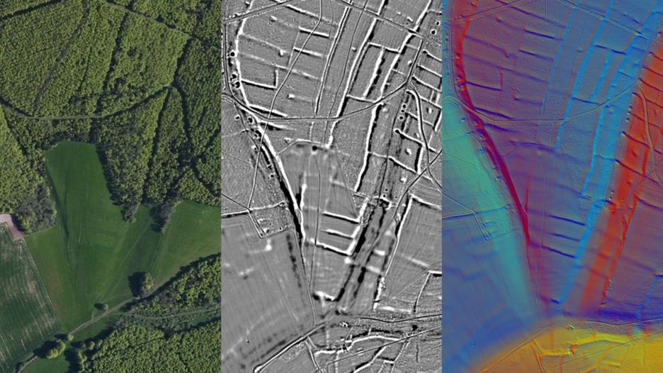
SUSSEX, ENGLAND—Laser scanning has revealed evidence of a prehistoric farming collective in England’s South Downs National Park, according to a report from BBC News. The evidence was detected using lidar, in which a laser beam mounted on an airplane scans the ground and produces a 3-D model of features. Findings from the survey indicate that a field system already scheduled to be protected as a monument made up just a portion of a large area of prehistoric cultivation that extends into land that is now wooded. This suggests that a vast expanse was farmed by people living in the region before the Roman invasion, raising questions regarding who grew the crops, who ate the food they produced, and where they lived. "The scale is so large that it must have been managed, suggesting that this part of the country was being organized as a farming collective," said Trevor Beattie, chief executive of the South Downs National Park Authority. The survey also detected the route of a Roman road between Chichester and Brighton that had been long suspected. For more on archaeology in England, go to “A Villa under the Garden.”


