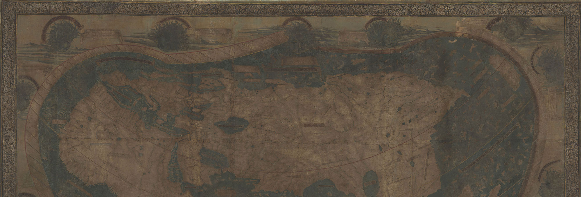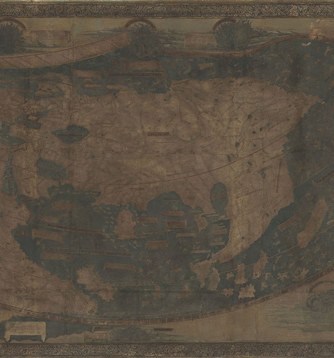
When Christopher Columbus landed in the Caribbean in 1492, he assumed he was in Japan. This was partly due to his fifteenth-century naïveté regarding world geography, but also because he had departed Spain armed with misinformation. It is believed that one of the sources that Columbus consulted before his journey was a map produced by German cartographer Henricus Martellus in 1491. The map locates Japan a thousand miles from the Asian mainland, where Columbus expected to find it on his way to the East Indies. The Martellus map reflected the sum total of European geographical knowledge at that time, and is considered by experts today to be one of the seminal maps of the Age of Discovery. “It seems to have influenced Columbus’ ideas about world geography, Martin Behaim’s terrestrial globe of 1492, and Martin Waldseemüller’s famous world map of 1507,” says map historian Chet Van Duzer. A recent project led by Van Duzer has used modern imaging technology to analyze the 525-year-old Martellus map, revealing details that provide a previously unseen glimpse into how Columbus and his peers perceived the world.
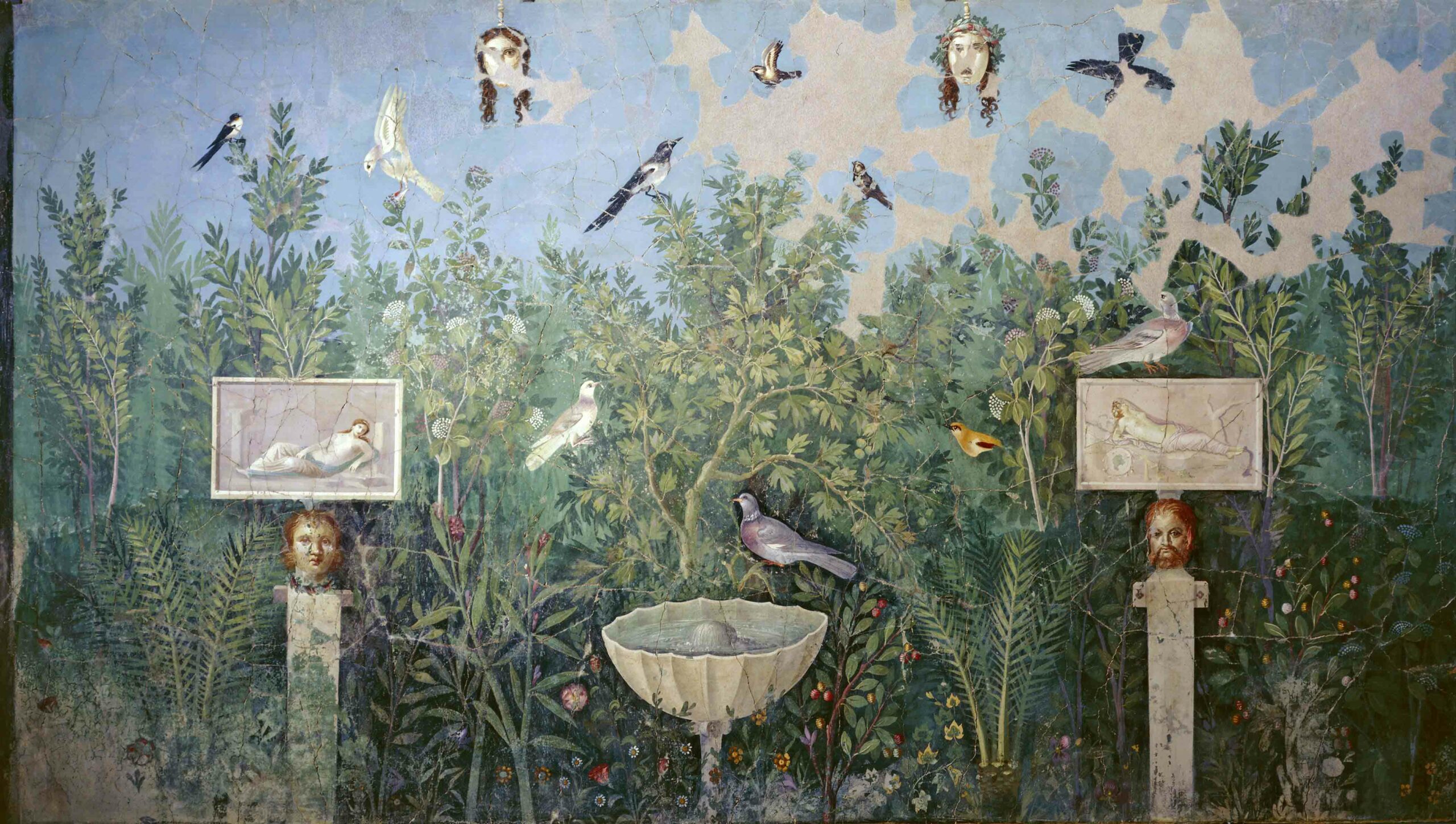
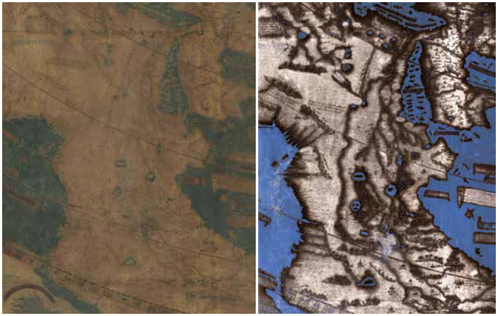
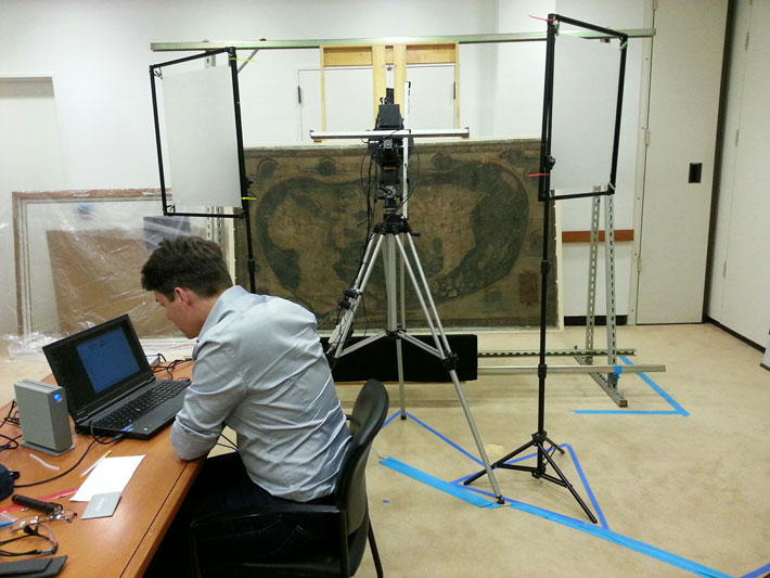
The existence of Martellus’ map was publicized in the 1960s when it was anonymously donated to Yale University. Measuring six feet by four feet, the map represents the Earth’s surface from the Atlantic in the west to the Pacific in the east—with Japan occupying the top right corner. Even as it was declared a vital piece of history, centuries of neglect and mistreatment had left many of the map’s details invisible. “Almost all of the text had faded to illegibility,” says Van Duzer, “making perhaps the most important map of the fifteenth century unstudiable.” Originally, the map was covered in dozens of Latin passages that described the people or characteristics of certain regions. Over the past two years, Van Duzer and his team have been recovering this information, bit by bit, with the help of multispectral imaging, which involves taking a series of photographs using a variety of frequencies of light, from ultraviolet to infrared. By stitching these images together and using digital enhancement tools, elements no longer visible to the naked eye can be seen. Similar techniques have been used recently to identify hidden details of Etruscan and Roman wall paintings, and to scrutinize ancient papyrus scrolls.
These newly revealed images attest to the ways in which fifteenth-century Europeans regarded unfamiliar lands. One passage over Asia reads, “Here are found the Hippopodes: They have a human form but the feet of horses.” Another in southern Asia describes the Panotii people, who had ears so large they could use them as sleeping bags. Text written over Africa declares, “Here there are large wildernesses in which there are lions, large leopards, and many other animals different from ours.” Now that these details have been brought to light, map historians can speculate not only on Martellus’ sources, but also on how he influenced later cartographers.
The new research has turned what was an “unstudiable” object into one that can finally be examined. As the use of imaging technology in ancient studies grows, it will have an impact both on new archaeological discoveries and on artifacts and sites uncovered centuries ago. “Multispectral imaging is a powerful tool for recovering texts from damaged manuscripts,” says Van Duzer. “I hope that it will prove useful in the study of damaged documents found in archaeological sites, and also perhaps in examining old texts that describe archaeological sites.”


