NAZCA, PERU—Archaeologists Clive Ruggles of the University of Leicester and Nicholas Saunders of the University of Bristol spent five-year studying Peru's Nazca Lines, including an elaborate labyrinth, walking along its paths and examining data collected through satellite digital mapping. They think the geoglyphs were created for walking by a few people at a time, probably for a spiritual or ritual purpose. “The labyrinth is completely hidden in the landscape, which is flat and virtually featureless. As you walk it, only the path stretching ahead of you is visible at any given point. Similarly, if you map it from the air its form makes no sense at all,” Ruggles explained.
The Purpose of the Nazca Lines
News December 12, 2012

Recommended Articles
Artifacts July/August 2025
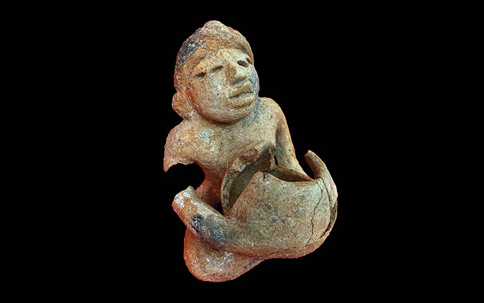
Maya Ceramic Figurine
Off the Grid July/August 2025
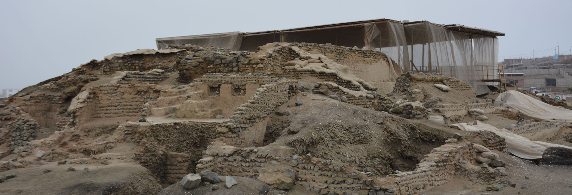
Vichama, Peru
Digs & Discoveries July/August 2025
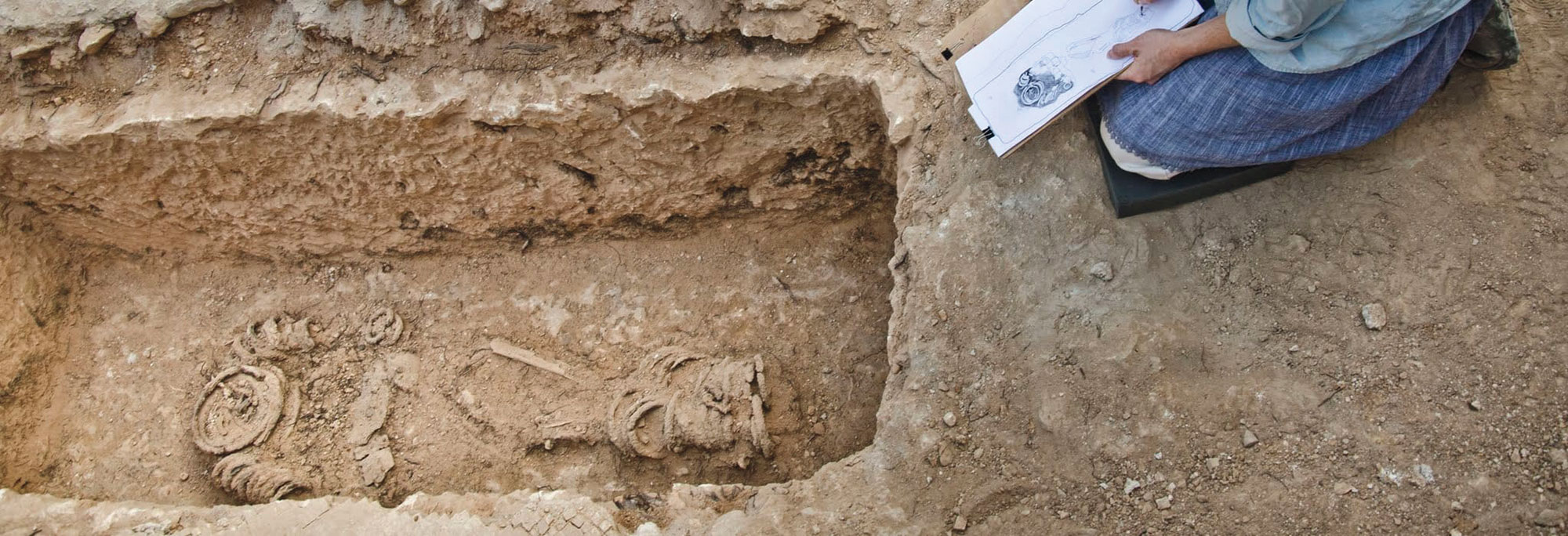
Bound for Heaven
Digs & Discoveries July/August 2025
Saints Alive
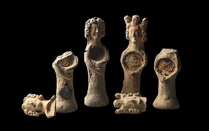
-
Features November/December 2012
Zeugma After the Flood
New excavations continue to tell the story of an ancient city at the crossroads between east and west
 (Hasan Yelken/Images & Stories)
 -
Letter from India November/December 2012
Living Heritage at Risk
Searching for a new approach to development, tourism, and local needs at the grand medieval city of Hampi
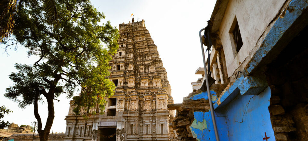 (Gethin Chamberlain)
 -
Artifacts November/December 2012
Beaker Vessels
Ceramic beakers were the vessels of choice for the so-called “Black Drink” used at Cahokia by Native Americans in their purification rituals
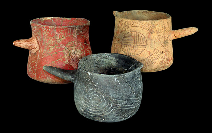 (Linda Alexander, photographer, use with permission of the Illinois State Archaeological Society)
 -
Digs & Discoveries November/December 2012
The Desert and the Dead
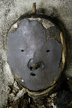 (Courtesy Bernardo Arriaza)


