TEHRAN, IRAN—Forty-five thousand of Iran’s archaeological sites have been placed on a map that was unveiled earlier this week. “The team began their work in 2009, but in fact, Ezzatollah Negaban (the father of modern Iranian archaeology) should be considered as the founder of this project, which began in 1958,” said team leader Abbas Moqaddam. This is the first phase of a three-phase project. The second phase is expected to take ten years. “It will take future generations centuries to complete the third phase,” added Moqaddam.
Long-Term Project Maps Iran’s Archaeological Sites
News March 6, 2013
Recommended Articles
Off the Grid January/February 2026
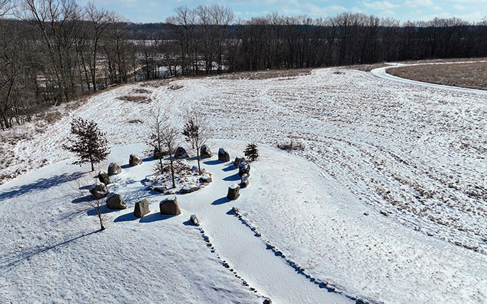
Prophetstown, Indiana
Letter from France January/February 2026
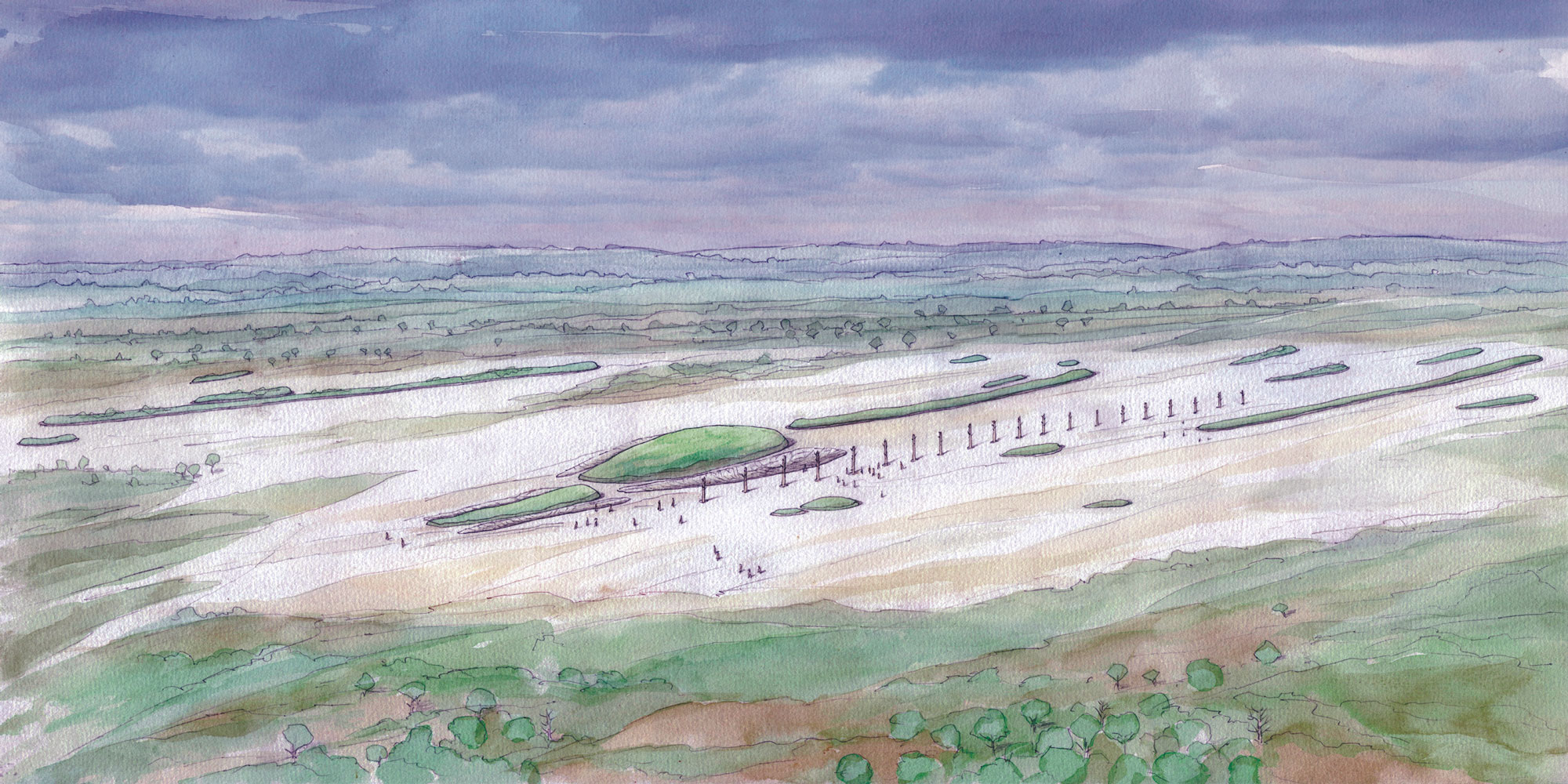
Neolithic Cultural Revolution
How farmers came together to build Europe’s most grandiose funerary monuments some 7,000 years ago
Features January/February 2026
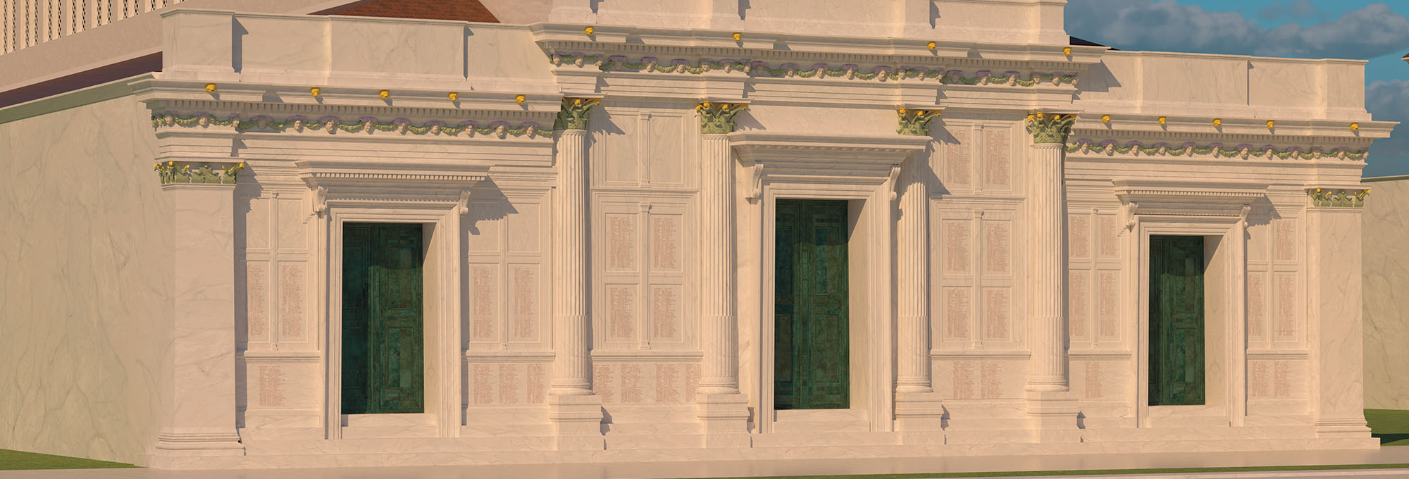
The Cost of Doing Business
Piecing together the Roman empire’s longest known inscription—a peculiarly precise inventory of prices
Features January/February 2026
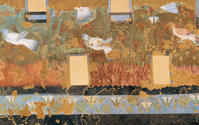
The Birds of Amarna
An Egyptian princess seeks sanctuary in her private palace
-
Features January/February 2013
Neolithic Europe's Remote Heart
One thousand years of spirituality, innovation, and social development emerge from a ceremonial center on the Scottish archipelago of Orkney
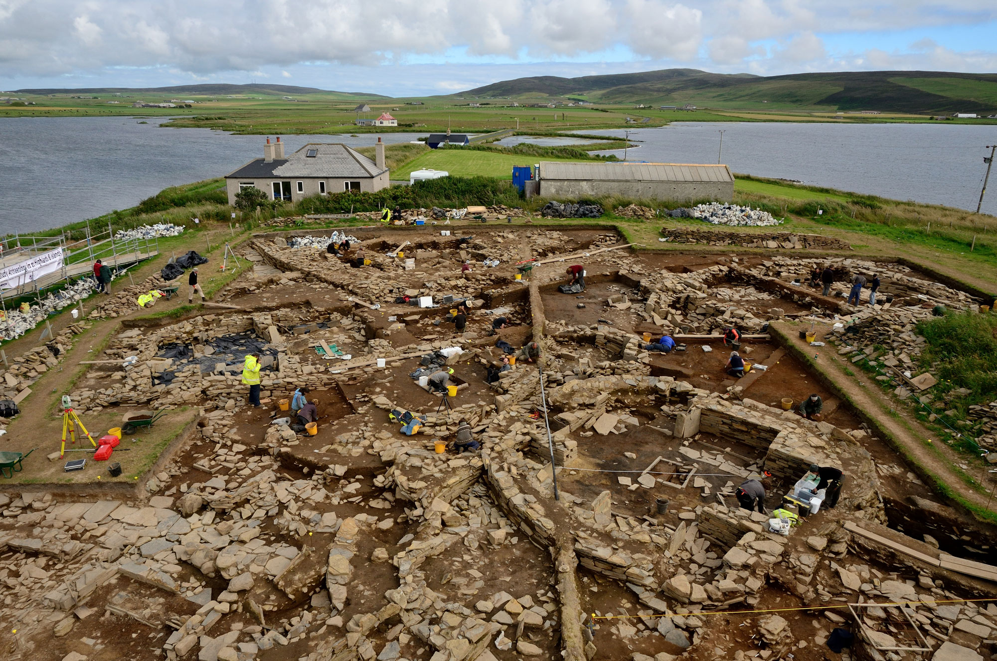 Adam Stanford/Aerial Cam
 -
Features January/February 2013
The Water Temple of Inca-Caranqui
Hydraulic engineering was the key to winning the hearts and minds of a conquered people
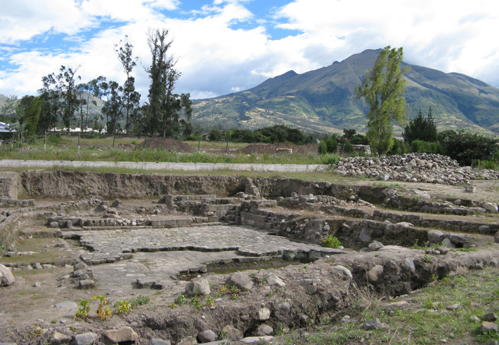 (Courtesy Tamara L. Bray)
 -
Letter from France January/February 2013
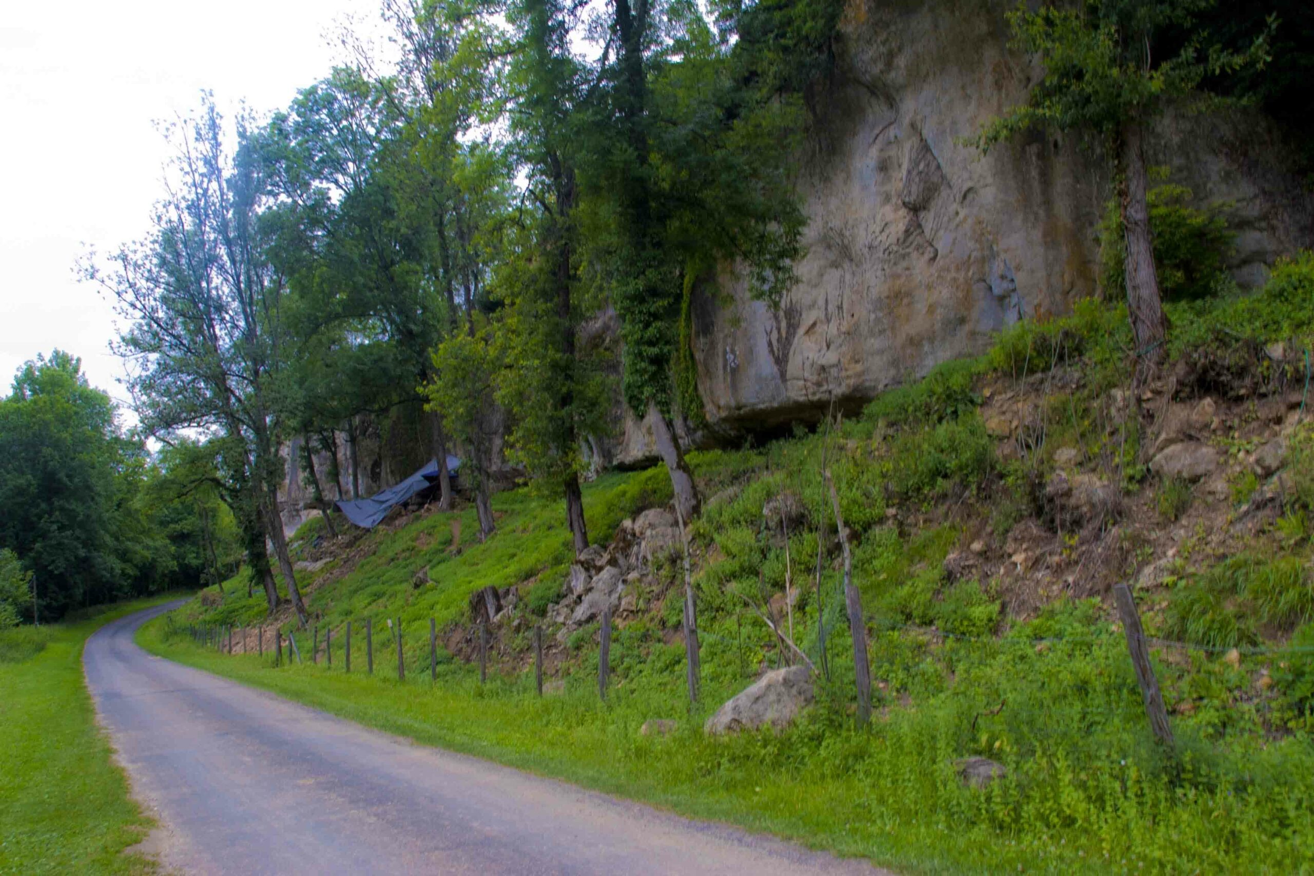
Structural Integrity
Nearly 20 years of investigation at two rock shelters in southwestern France reveal the well-organized domestic spaces of Europe's earliest modern humans
-
Artifacts January/February 2013
Pacific Islands Trident
A mid-nineteenth-century trident illustrates a changing marine ecosystem in the South Pacific
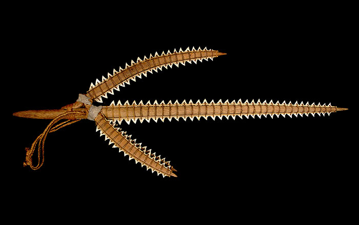 (Catalog Number 99071 © The Field Museum, [CL000_99071_Overall], Photographer Christopher J. Philipp)

