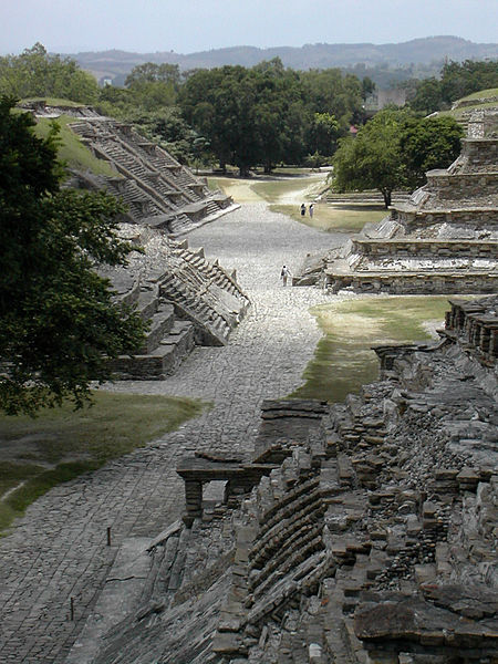
MEXICO CITY, MEXICO—Using LiDar technology, scientists from Mexico’s National Institute of Anthropology and History have found three more ball fields, two raised platforms, and a building that may have housed a large family at the UNESCO World Heritage site of El Tajin. Optical remote sensing technology allows researchers to make precise 3-D maps of areas that are difficult to reach on foot in much less time. Thermal cameras were also employed to examine the site’s monuments. “We took 60 thousand thermographic images and it was beneficial to learn that no important damage had been done to the principal structures of the archaeological zone,” said archaeologist Guadalupe Zetina Gutierrez.
High-Tech Tools Map El Tajin
News March 25, 2013
Recommended Articles
Off the Grid September/October 2012
Aquincum, Hungary
Off the Grid July/August 2012
Pucará de Tilcara, Argentina
-
Features January/February 2013
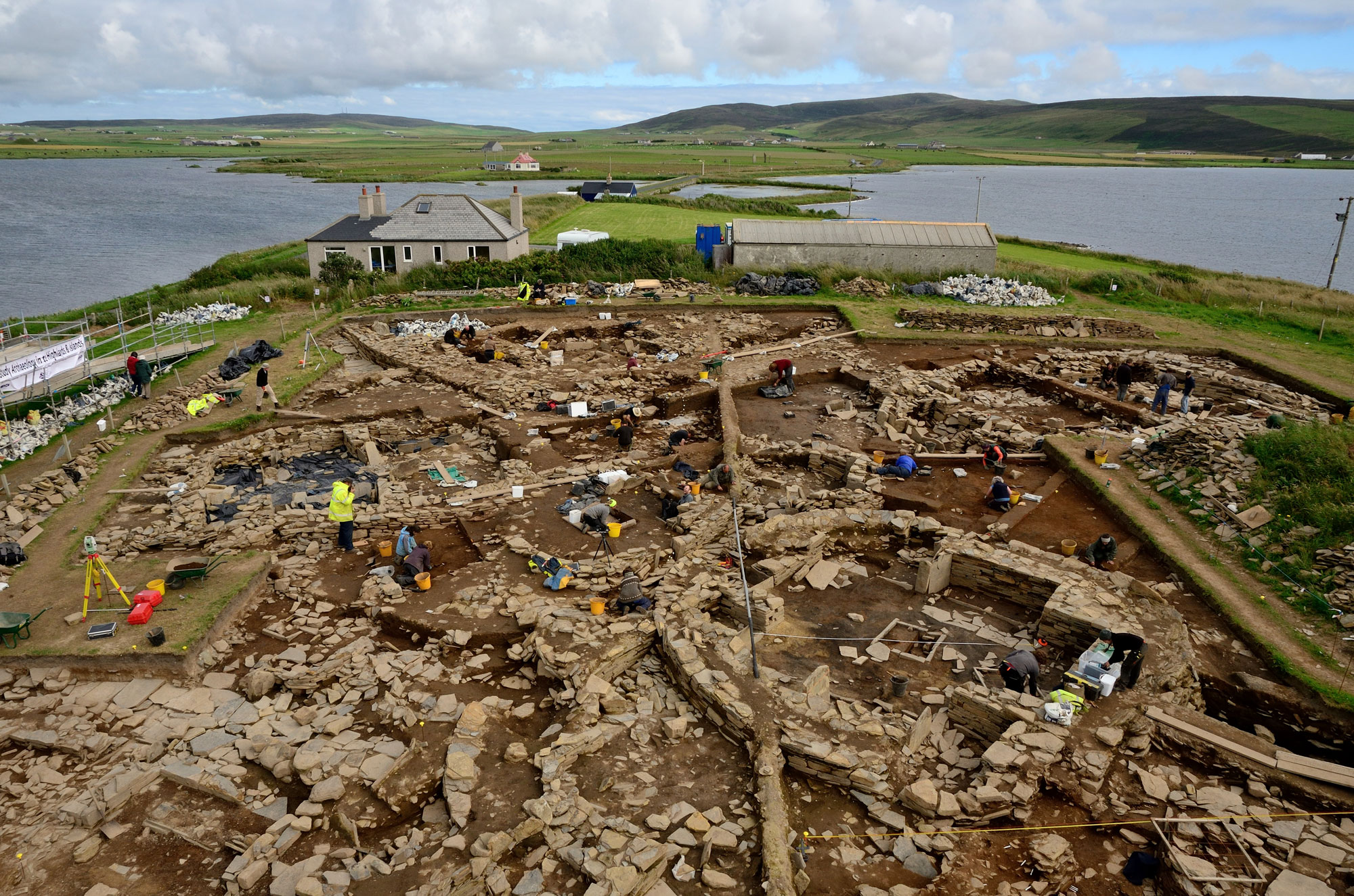
Neolithic Europe's Remote Heart
One thousand years of spirituality, innovation, and social development emerge from a ceremonial center on the Scottish archipelago of Orkney
Adam Stanford/Aerial Cam -
Features January/February 2013
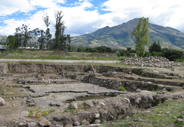
The Water Temple of Inca-Caranqui
Hydraulic engineering was the key to winning the hearts and minds of a conquered people
(Courtesy Tamara L. Bray) -
Letter from France January/February 2013
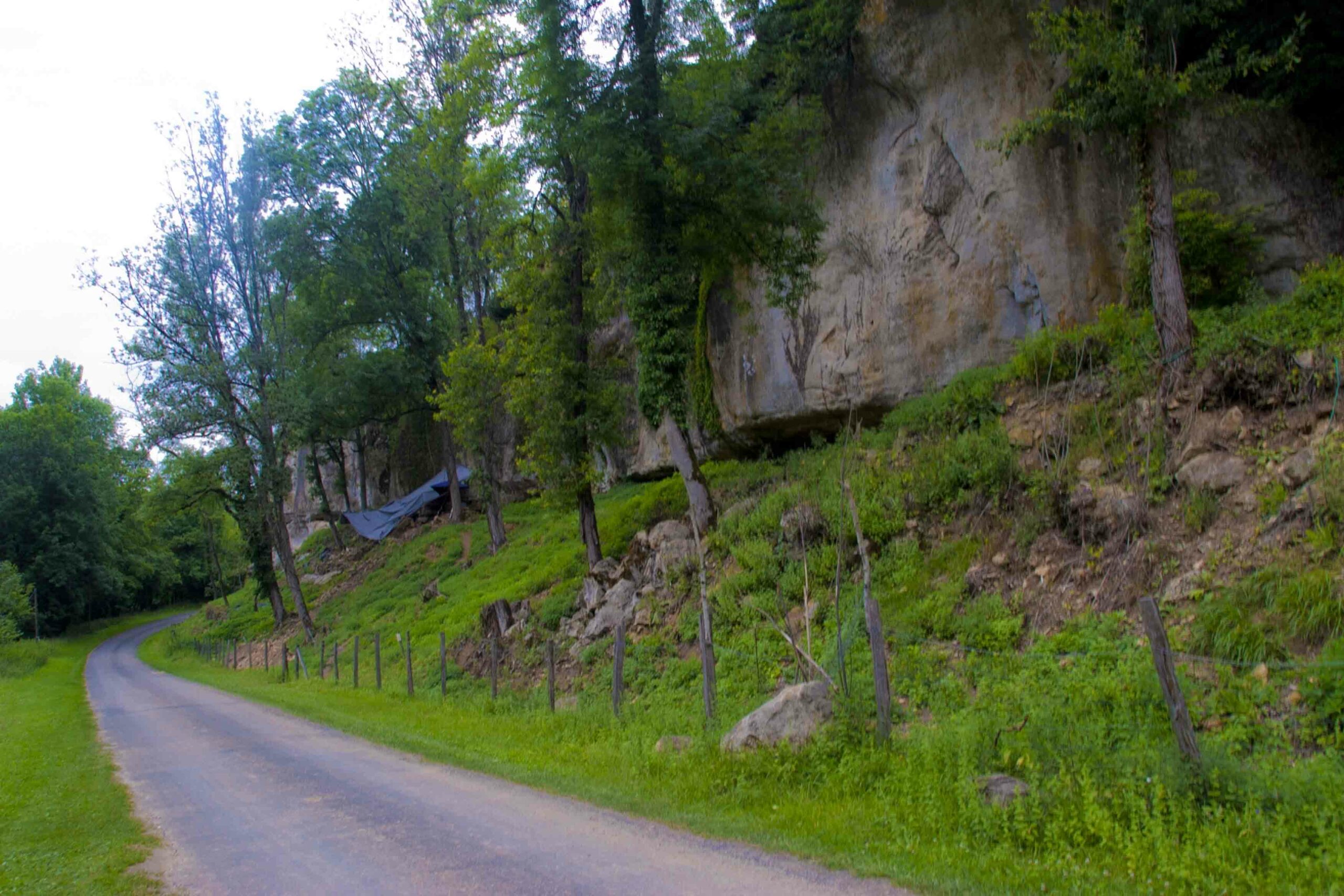
Structural Integrity
Nearly 20 years of investigation at two rock shelters in southwestern France reveal the well-organized domestic spaces of Europe's earliest modern humans
-
Artifacts January/February 2013
Pacific Islands Trident
A mid-nineteenth-century trident illustrates a changing marine ecosystem in the South Pacific
(Catalog Number 99071 © The Field Museum, [CL000_99071_Overall], Photographer Christopher J. Philipp)