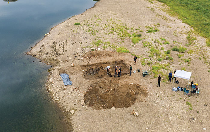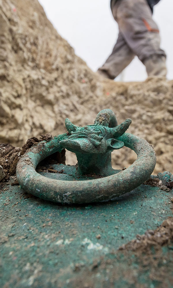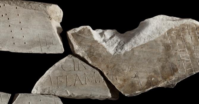
ROME, ITALY—A newly discovered fragment of a marble map of ancient Rome has been joined with the other existing pieces, according to Discovery News. The map, which originally measured 60 by 43 feet, is known as the Severan Marble Plan and was carved into 150 marble slabs between A.D. 203 and 211. When complete, the map featured every building and street in Rome, but the 1,200 or so fragments that remain cover just 10 percent of its original surface area. The map originally hung on a wall that survives today and is lined with holes where the slabs were once attached with bronze clamps. The new fragment was discovered in the Maffei Marescotti Palace and is thought to have been used in its construction at the end of the sixteenth century. The piece connects to a large section discovered in 1562 and completes the word “Circus Flaminius,” a sporting complex that was built in 220 B.C. to host the Plebeian games. To read about ancient Rome in-depth, go to “Rome's Imperial Port.”