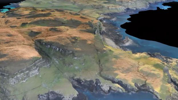
GLASGOW, SCOTLAND—BBC News reports that more than 4,000 photographs of Canna and Sanday, islands in the Scottish Inner Hebrides, were taken with an ultra-high-definition camera on a fixed-wing drone. Researchers from the National Trust for Scotland said the resulting minutely detailed 3-D map, which was produced by the firm GeoGeo, revealed dozens of archaeological sites dating from the Neolithic and Bronze Age through the nineteenth century. The sites include settlement mounds, hut circles, and shielings, or rough shelters placed in pastures. “We’ve been able to obtain exact plots of known sites but also recorded the extensive traces of cultivation, such as rig and furrow field systems that range in age from the Bronze Age onwards,” explained Derek Alexander of the National Trust for Scotland. To read about an unusual discovery in the Scottish Outer Hebrides, go to “Scottish 'Frankenstein' Mummies.”
High-Tech Map Made of Scottish Islands
News February 5, 2019
Recommended Articles
Digs & Discoveries July/August 2023
Bog Togs
Digs & Discoveries January/February 2023
Storming the Castle
Digs & Discoveries September/October 2022
Pictish Pictograms
Off the Grid July/August 2022
Jarlshof, Shetland, Scotland
-
Features January/February 2019
A Dark Age Beacon
Long shrouded in Arthurian lore, an island off the coast of Cornwall may have been the remote stronghold of early British kings
(Skyscan Photolibrary/Alamy Stock Photo) -
Letter from Leiden January/February 2019
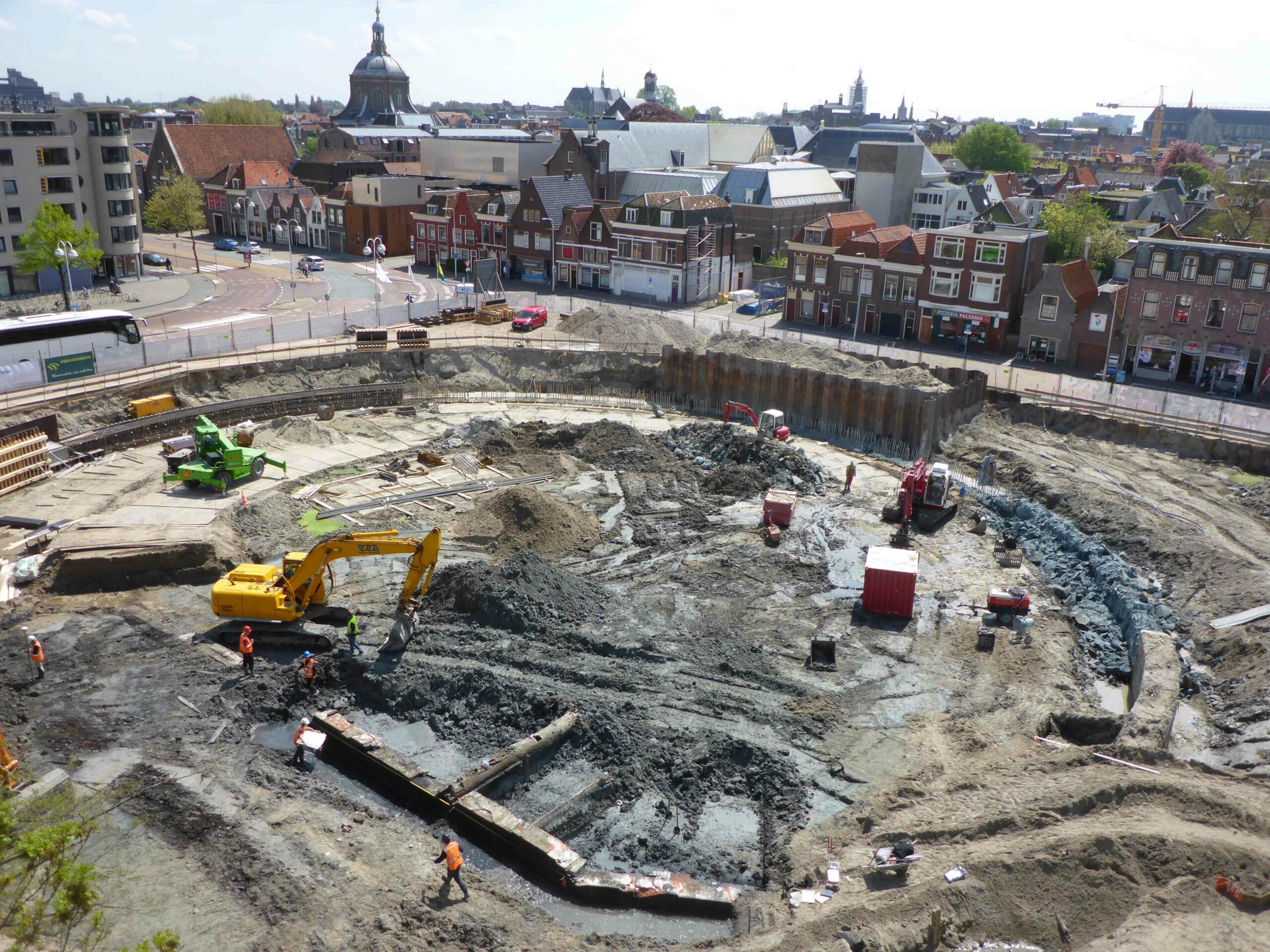
Of Cesspits and Sewers
Exploring the unlikely history of sanitation management in medieval Holland
(Photo by BAAC Archeologie en Bouwhistorie) -
Artifacts January/February 2019
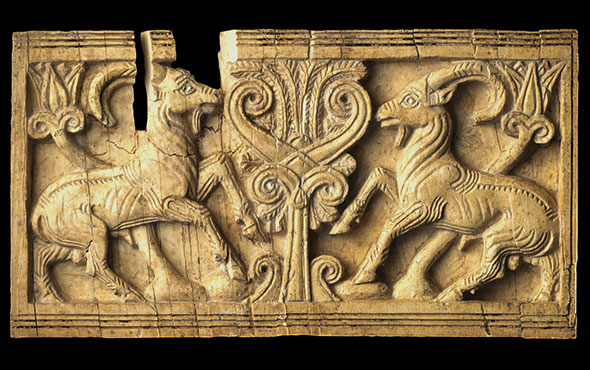
Neo-Hittite Ivory Plaque
(Copyright MAIAO, Sapienza University of Rome/Photo by Roberto Ceccacci) -
Digs & Discoveries January/February 2019
The Case of the Stolen Sumerian Antiquities
(© Trustees of the British Museum)