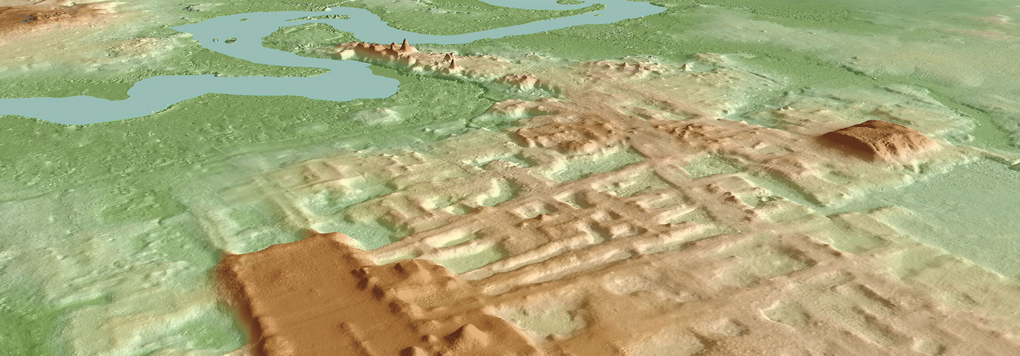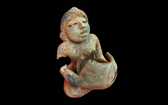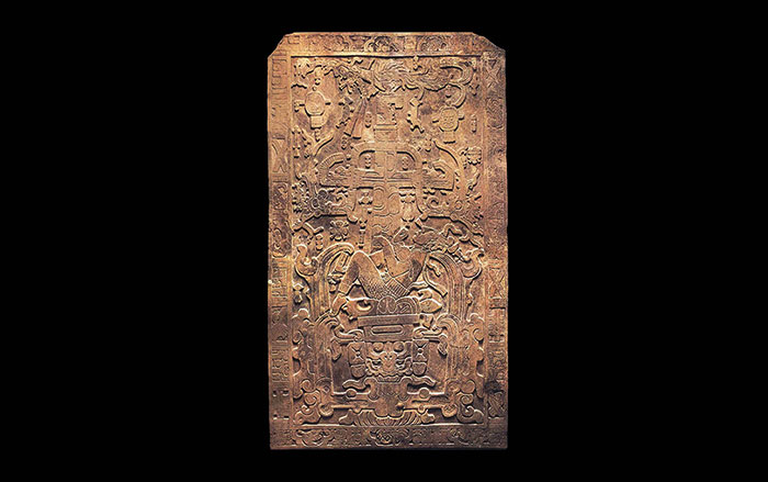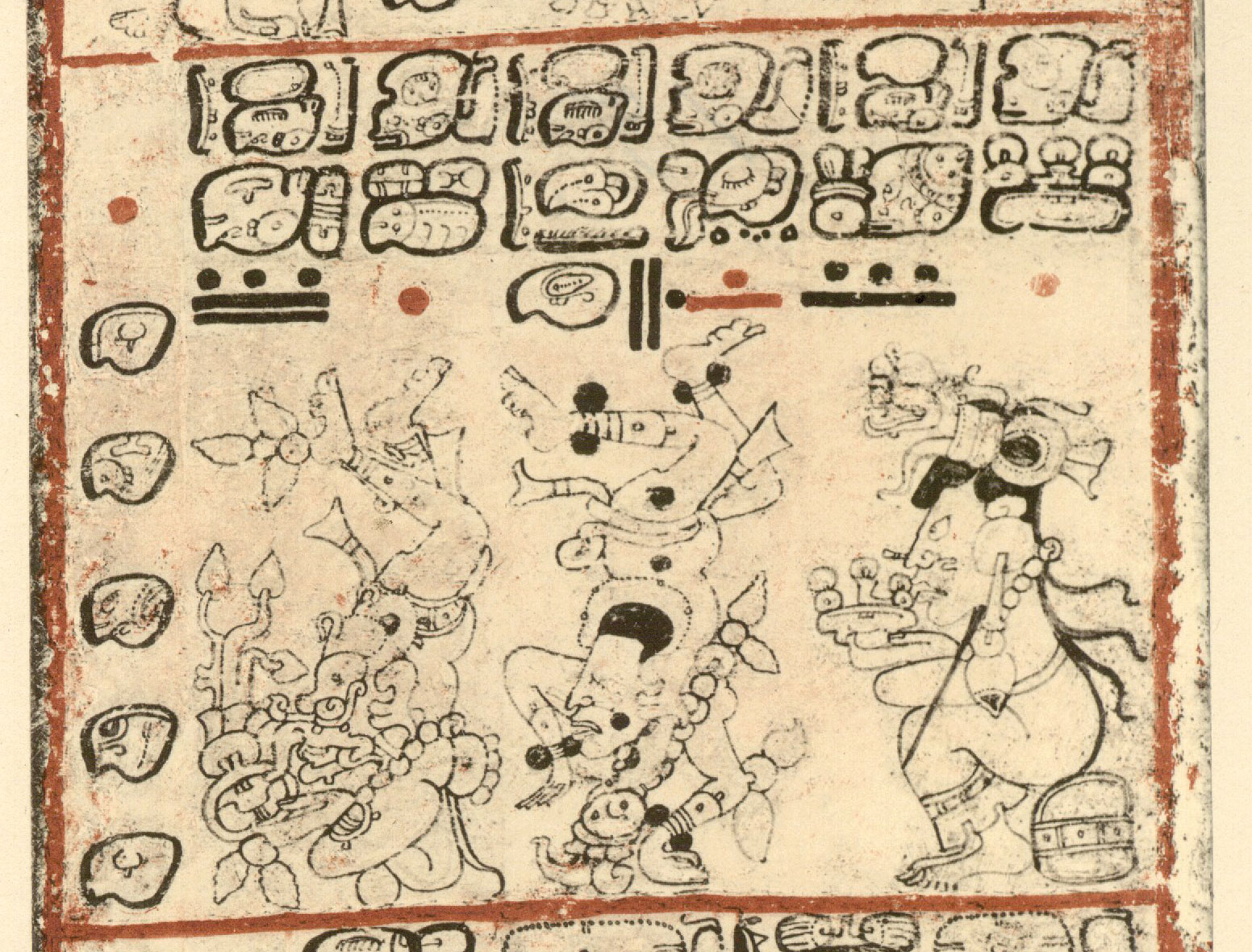
TUCSON, ARIZONA—Gizmodo reports that lidar technology was used to create 3-D maps of some 30,000 square miles of Mexico, revealing more than 475 archaeological sites dating from 1400 B.C. to A.D. 1000. Researchers including Takeshi Inomata of the University of Arizona have identified among the structures five types of architectural arrangements thought to reflect different time periods or social arrangements among the Olmec and Maya peoples. All of the sites have rectangular or square structures, perhaps based upon the Olmec site of San Lorenzo, the oldest site in the region, which had a central rectangular space that may have been used as a public plaza. “Until three years ago, we had no idea about the presence of such complexes,” Inomata said. “They really force us to rethink what was happening during this period.” To read about a ceremonial structure in Mexico that Inomata and his colleagues identified using lidar, go to "Oldest Maya Temple," one of ARCHAEOLOGY's Top 10 Discoveries of 2020.


