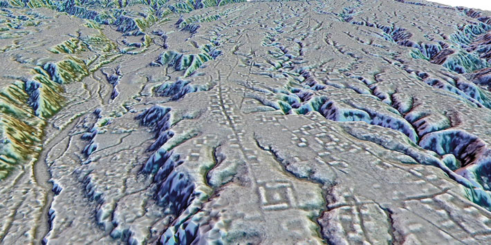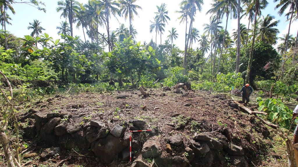
AUCKLAND, NEW ZEALAND—A topographic map of the Falefa Valley on ‘Upolu Island in Samoa has been made with a lidar survey, according to a Cosmos Magazine report. Laser pulses, emitted from a device carried on a plane, measured the distance to the ground through the valley’s dense jungle foliage. “This is one of the first times [LiDAR has] been used in Sāmoa, so all these impressive rock walls, platforms, and mounds, which date back between 600 and 900 years, can be seen in precise detail,” said Ethan Cochrane of the University of Auckland. Using the lidar-generated map, Cochrane and his colleagues then were able to identify and examine Samoan structures on the ground. Tests of soil samples confirm that some of the walls detected in the lidar survey surrounded more fertile land. He thinks the walls may have been constructed to limit access to valuable resources, perhaps as a response to a rise in population that occurred at the time. Eventually, control of these resources may have given rise to a Samoan elite and Polynesia’s chiefly system, Cochrane concluded. Read the original scholarly article about this research in PLOS ONE. For more on the archaeology of Oceania, go to "Letter from Australia: Murder Islands."


