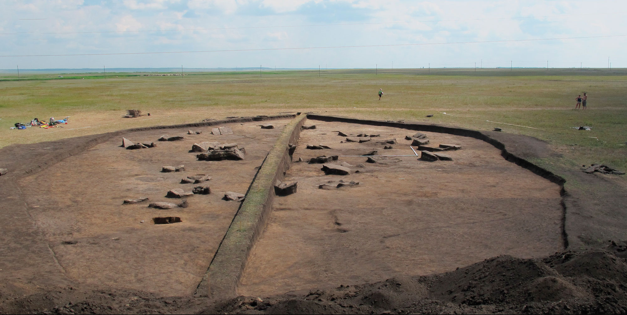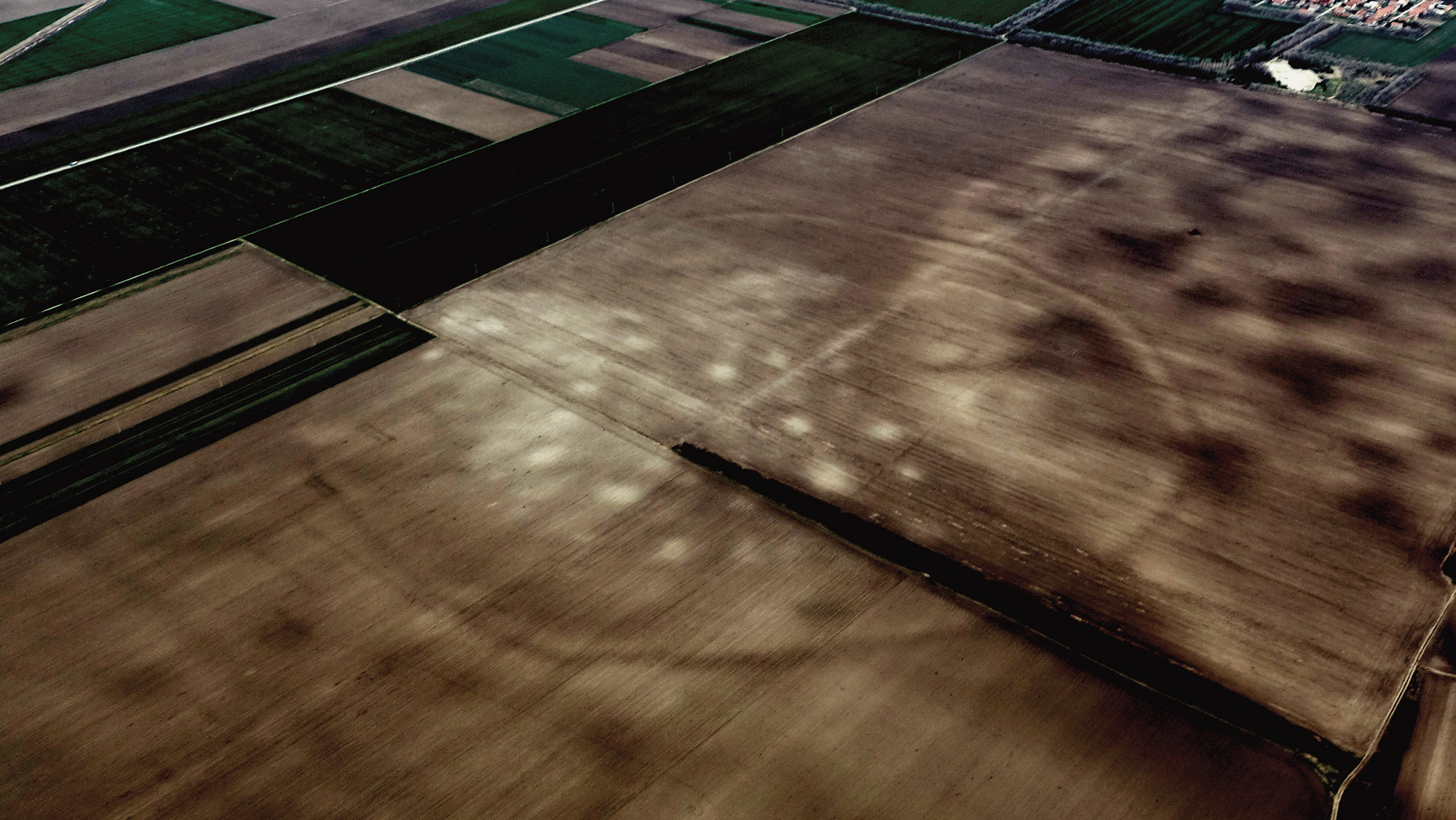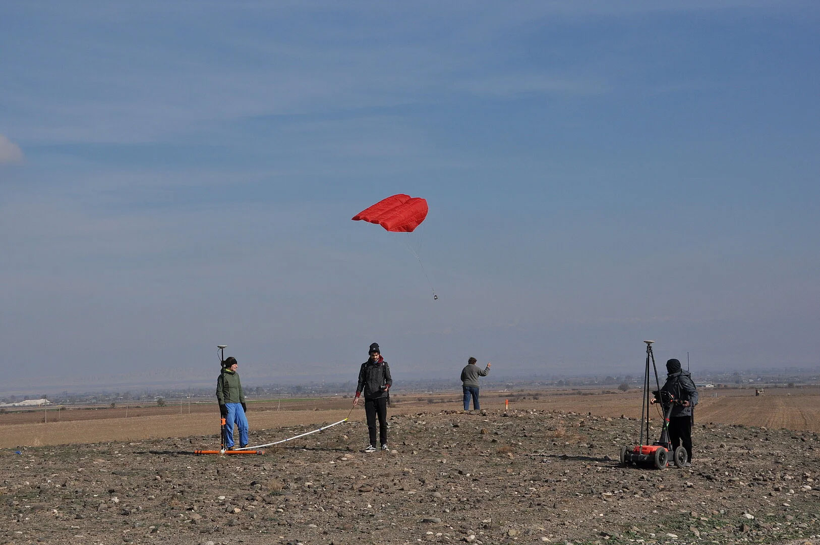
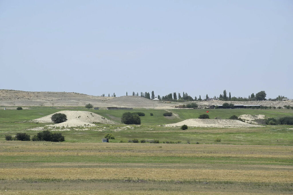
BAKU, AZERBAIJAN—According to a statement released by Kiel University, a team of researchers from the ROOTS Cluster of Excellence at Kiel University and the Academy of Sciences of Azerbaijan mapped more than 1,300 archaeological sites in western Azerbaijan while conducting a survey of the Lesser Caucasus mountains. The team members employed recent satellite imagery and satellite images taken in the 1960s and 1970s; remote sensing technology; and geophysical measurements taken on the ground to conduct the investigation. Images taken with a camera attached to a kite were used to assemble 3-D landscape models, while artifacts collected on the ground surface were used to date the suspected burial mounds, or kurgans. “These integrated methods allow us to document the dimensions and spatial relationships of the kurgans with an intensity and precision never reached before, revealing that the kurgans were often arranged in clusters,” said Bakhtiyar Jalilov of the National Academy of Azerbaijan. Read the original scholarly article about this research in Antiquity. To read about a genetic study of 32 individuals buried in a kurgan south of Russia's Ural Mountains, go to "Ancient DNA Revolution: A Bronze Age Family Tree."