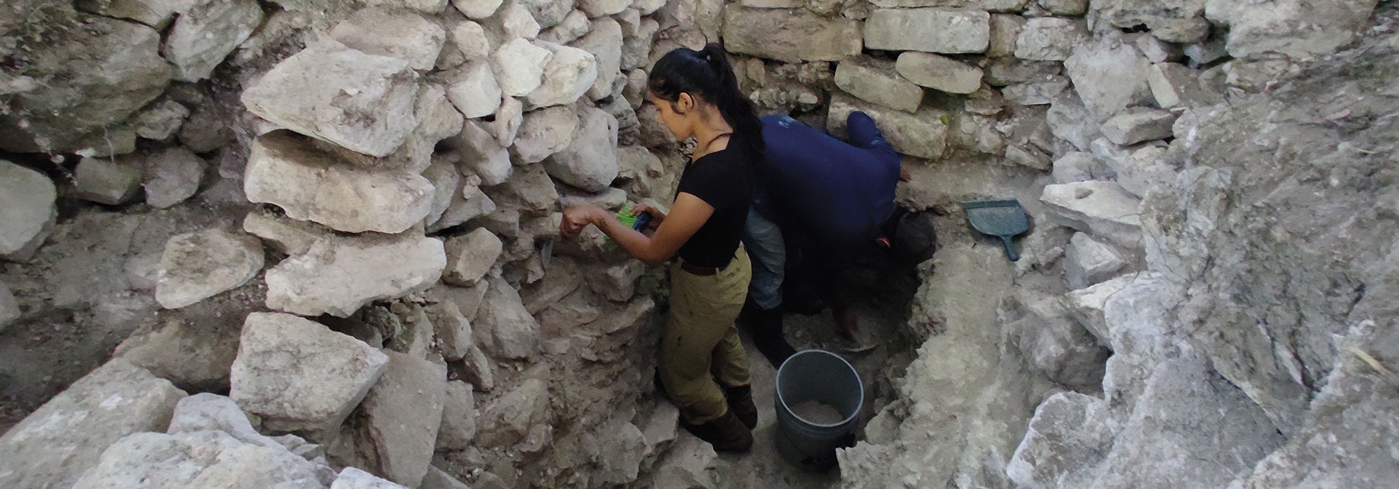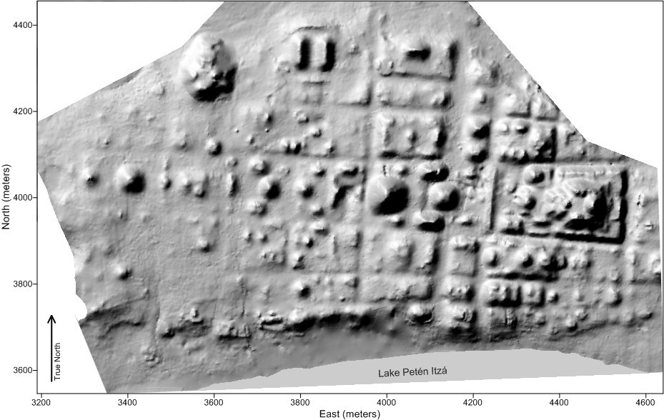
QUEENS, NEW YORK—At the Maya site of Nixtun-Ch’ich’ in Petén, Guatemala, archaeologist Timothy Pugh of Queens College has found evidence that the city’s ceremonial and residential areas were laid out on a grid pattern. “It’s a top-down organization. Some sort of really, really, powerful ruler had to put this together,” he told Live Science. The early city was in use from 600 B.C. to 300 B.C., a time when the first Maya cities were under construction. Nixtun-Ch’ich’ had a main route that stretched east-west, along a line that is only three degrees off true east. “You get about 15 buildings in an exact straight line—that’s the main ceremonial area,” he said. At the eastern end of the route, there is a group of pyramids and buildings facing each other on a platform, similar to structures found in other early Maya cities. Many of the buildings face east, perhaps to follow the movement of the sun, and many of the buildings were decorated with shiny white plaster. “Most Mayan cities are nicely spread out. They have roads just like this, but they’re not gridded,” Pugh explained. To read more about high-tech mapping of Maya cities, see "Lasers in the Jungle."


