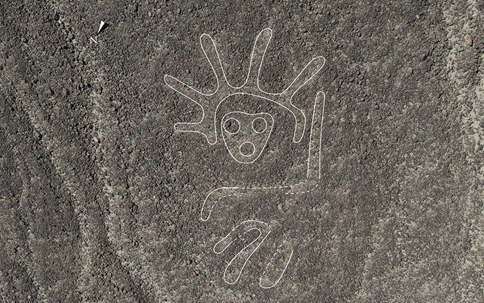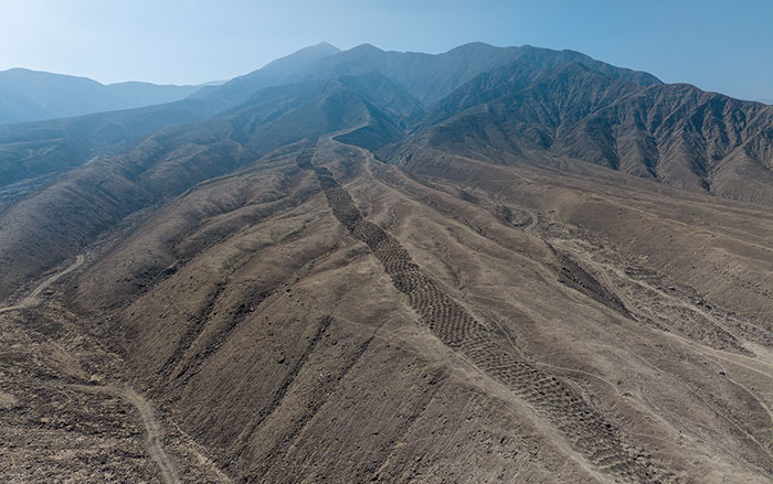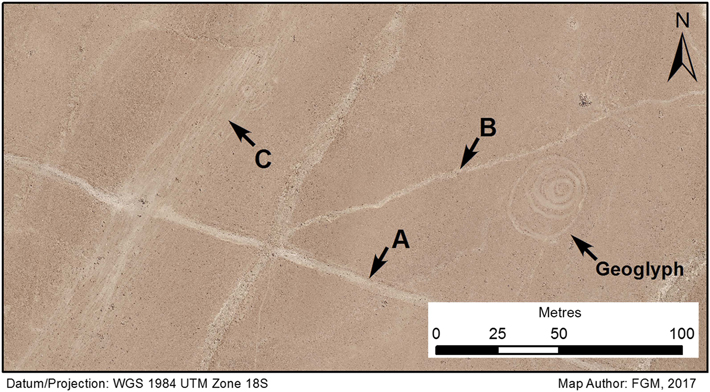
TORONTO, CANADA—Justin Jennings of the Royal Ontario Museum and his colleagues are mapping transport routes and circular geoglyphs in southern Peru’s Sihuas Valley with information collected on the ground and from satellite and drone imagery, according to a Live Science report. They think the geoglyphs, most of which are believed to date to between A.D. 1000 and 1450, were made by people who were taking breaks while traveling on foot. Measurements of the distances of the geoglyphs from the paths indicate the circles were more likely to be created close to a path than far away from one. The study also suggests the circles are found more frequently where the path or the view changed, such as after a steep climb to a flat “pampa” landscape. “It’s a moment of change, a moment of rest,” Jennings explained. The circles were made by exposing lighter sediment under rocks and dirt on the surface of the reddish-tan ground. Broken pottery and caches of painted stones, perhaps left behind as offerings, have also been found in the circles. To read about an odd feature in Peru consisting of thousands of aligned holes, go to “An Overlooked Inca Wonder.”