
Cultivating Fields of Stone

Features September/October 2026

Peru’s ancient farmers used intricate rock maps to plan for the future
Courtesy Patricia Aparicio Martínez
SHARE:

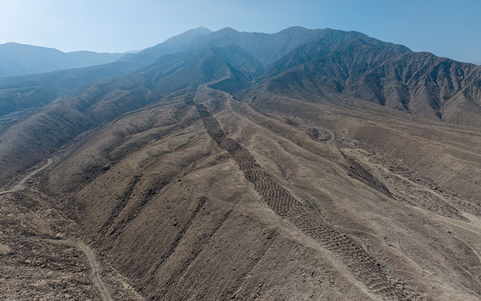
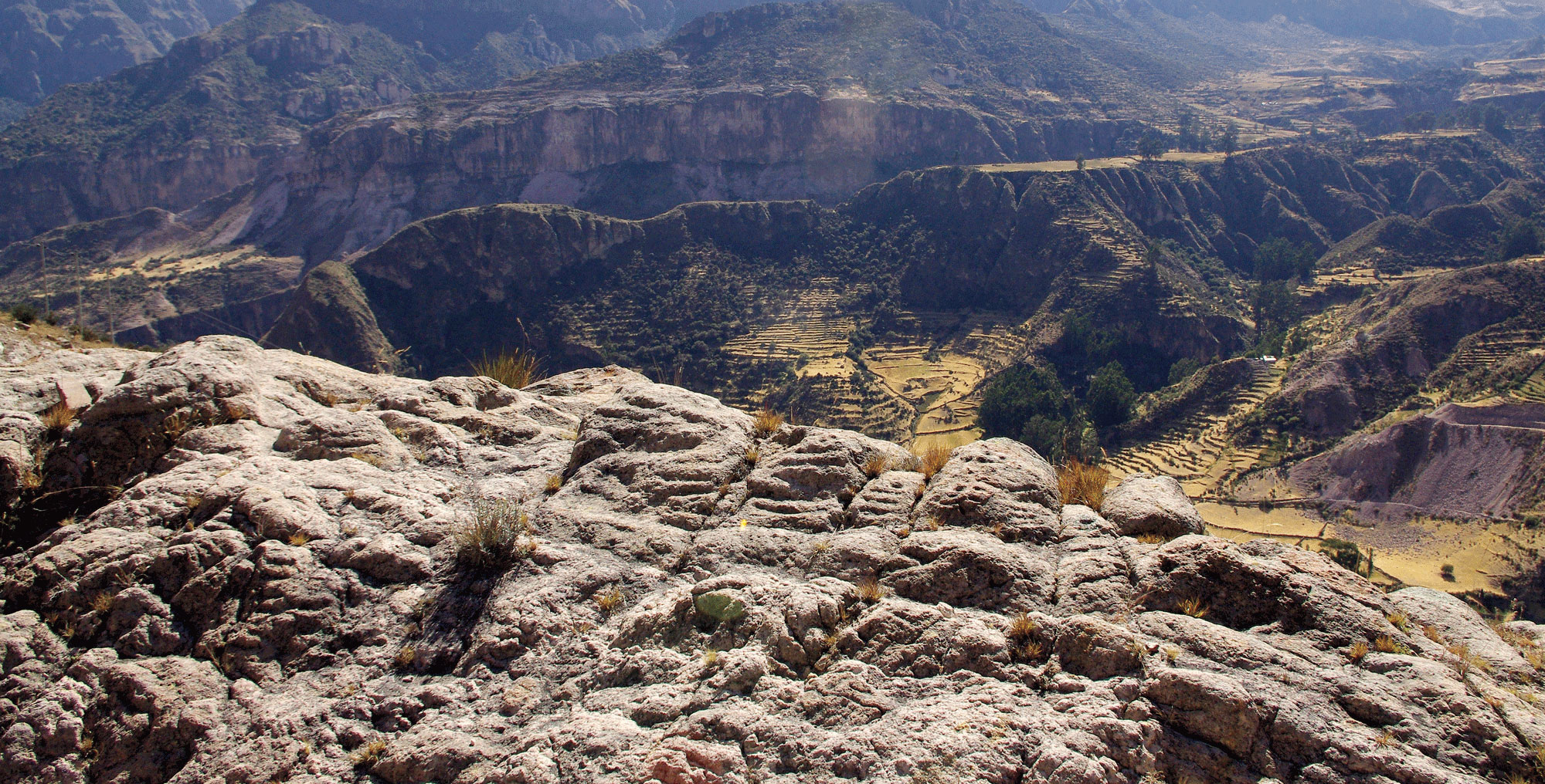
A map of agricultural terraces is carved into a large boulder overlooking southern Peru’s Sondondo Valley. Archaeologists have recently identified dozens of such maps, known as piedras maquetas, or “stone models,” in three Andean valleys.

Rural Route 32A snakes 40 miles along the floor of the Sondondo Valley in the Andes Mountains of southern Peru. The single lane road runs through the communities of Cabana Sur and Andamarca, whose villagers grow maize and alfalfa on steep agricult
Become a Digital Subscriber Today

Get full access to all content on the ARCHAEOLOGY website and our PDF archive going back to the first publication in March 1948.

Already a Subscriber? Sign In

  • Features September/October 2026

    A Change in Fashion

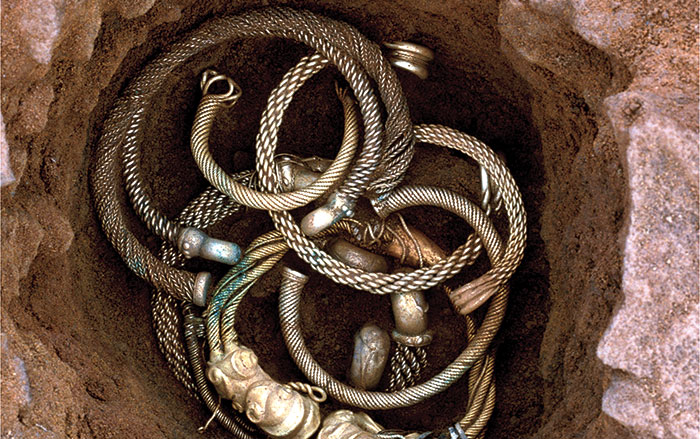
    Hoards of lavish gold and silver neck rings buried on an English hill reflect dramatic social change

    Read Article
    Torc hoard
    Photo © 2026 The Trustees of the British Museum
  • Features September/October 2026

    Where Was Ancient Egypt Born?

    Archaeologists are reimagining a time before the first pharaohs

    Read Article
    Courtesy Robert Słaboński/Tell el-Farkha Expedition
  • Features September/October 2026

    2,000 Years Under the Sea

    The story of Greece’s famed Antikythera wreck is finally being revealed

    Read Article
    © ESAG/UNIGE
  • Letter from Ireland September/October 2026

    A War Between Friends

    How IRA volunteers survived the Irish Civil War in a secret mountain hideout

    Read Article
    James Bosnall