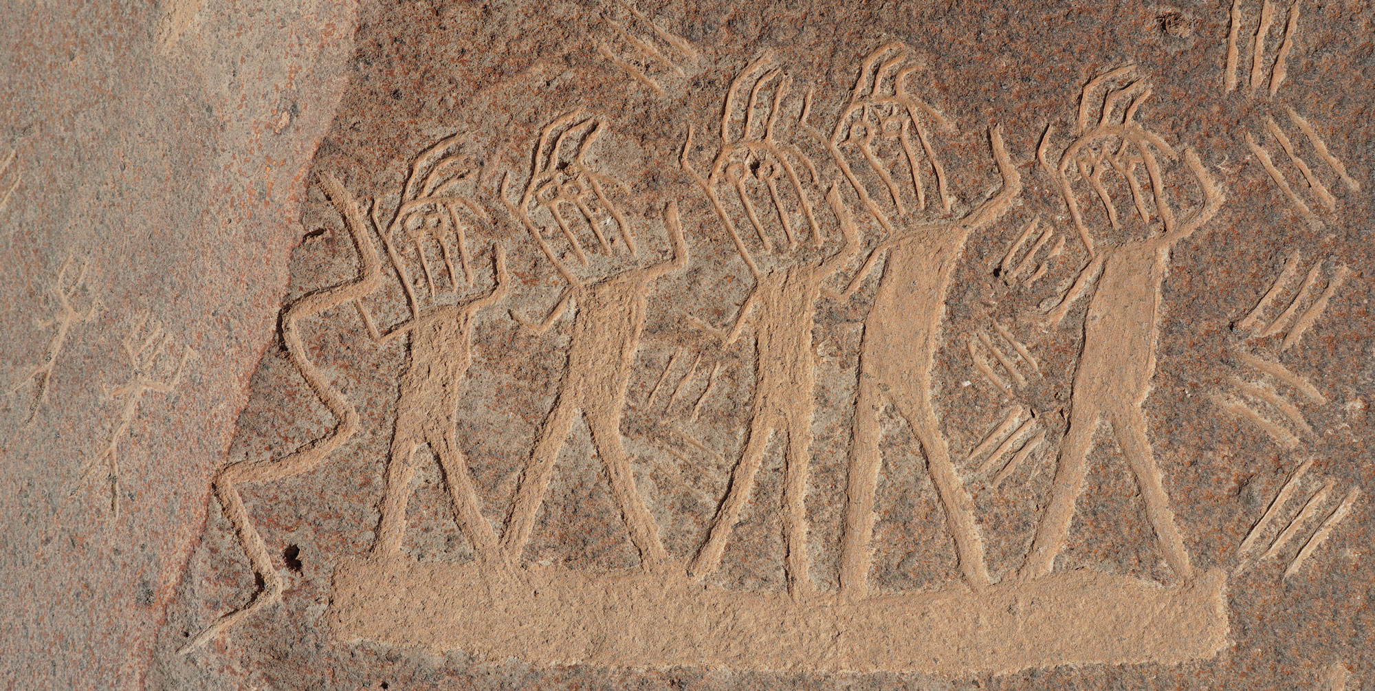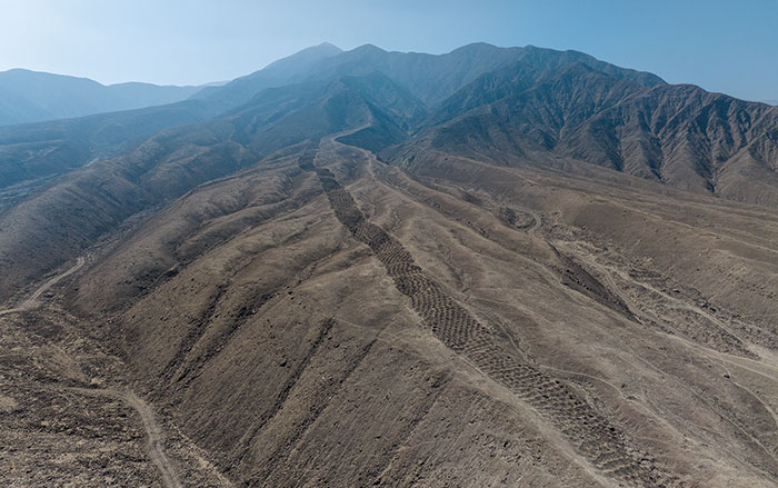

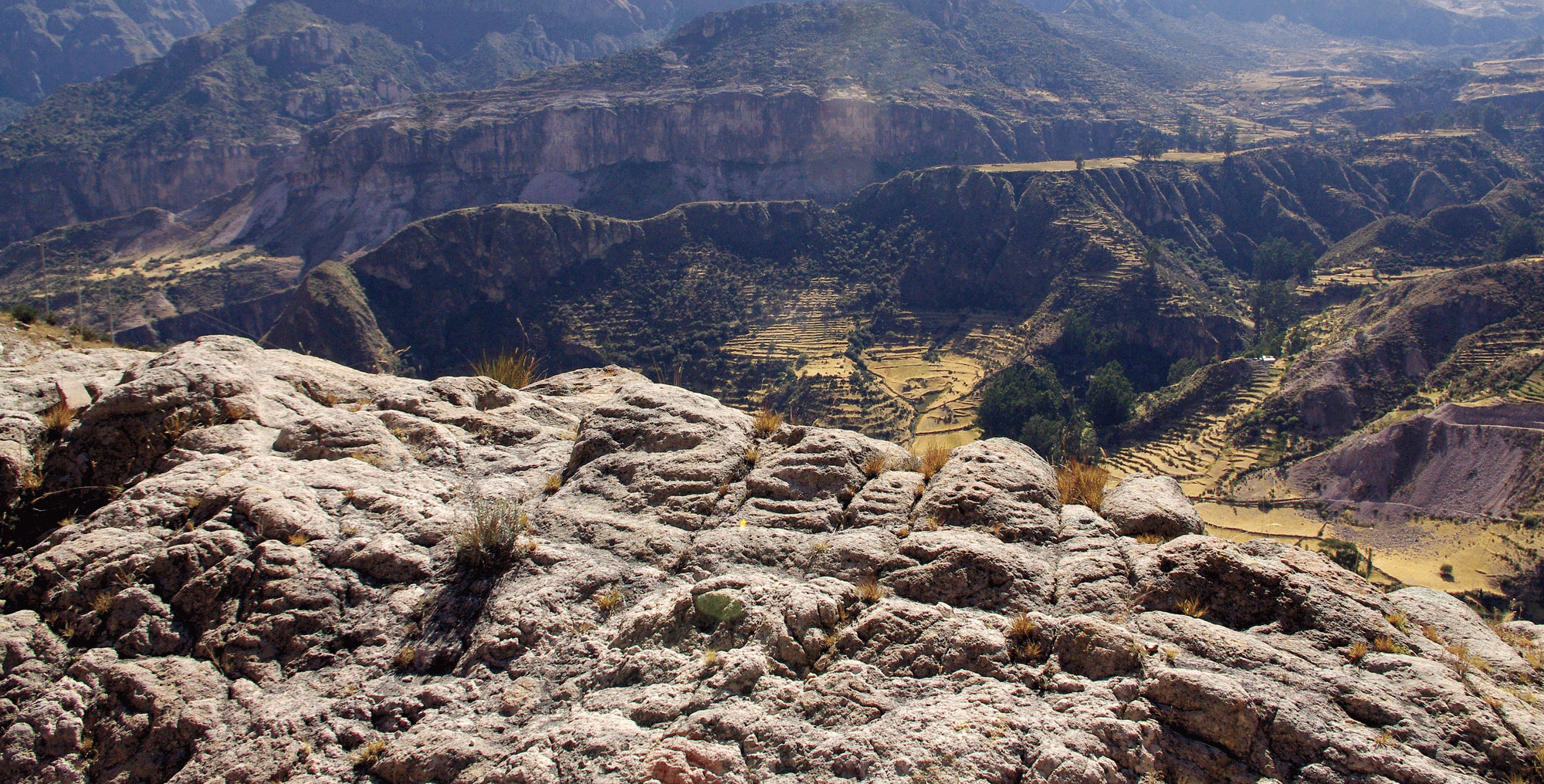
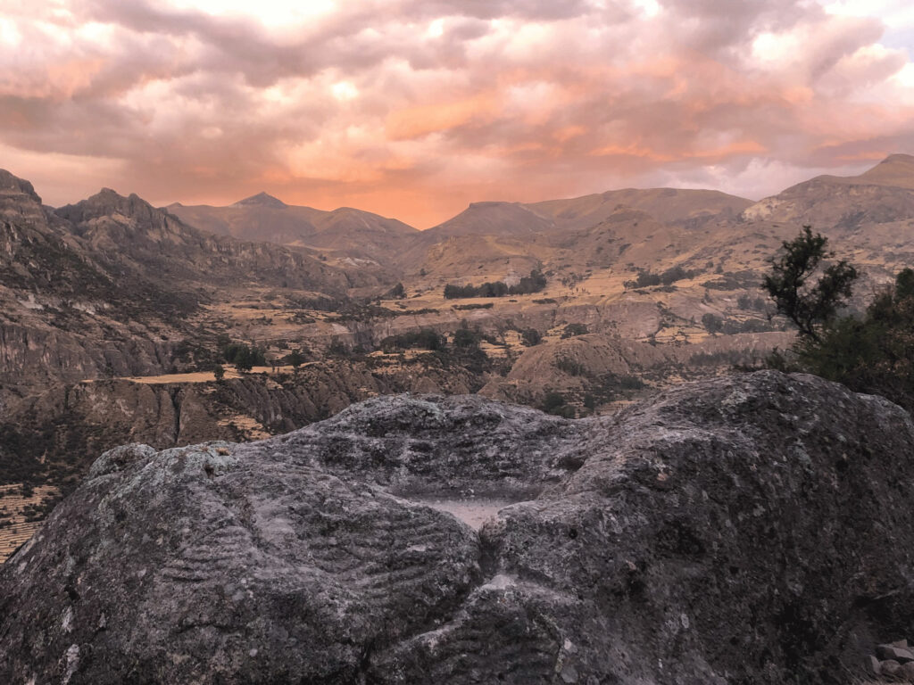
Rural Route 32A snakes 40 miles along the floor of the Sondondo Valley in the Andes Mountains of southern Peru. The single lane road runs through the communities of Cabana Sur and Andamarca, whose villagers grow maize and alfalfa on steep agricultural terraces cut into the valley’s rugged slopes. Some farmers plant their crops on terraces that are more than 1,000 years old. When local people drive on Route 32A, they are also using ancient infrastructure. The road follows a spur of the sprawling Qhapaq Ñan, or Royal Road, a network traversing some 25,000 miles that once knitted together the communities of the Andes. In centuries past, the valley’s residents created stone monuments near the ancient road that commemorated their deep connection to the landscape and their claim to the densely packed terraces that they, and their ancestors, created throughout the valley. Called piedras maquetas, or “stone models,” these rock sculptures are maps of the Sondondo Valley’s agricultural terraces carved by ancient farmers into boulders and rock outcroppings more than 500 years ago.