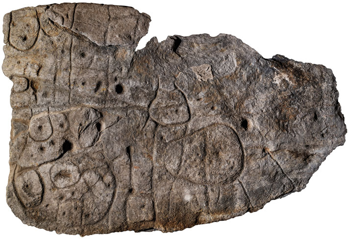
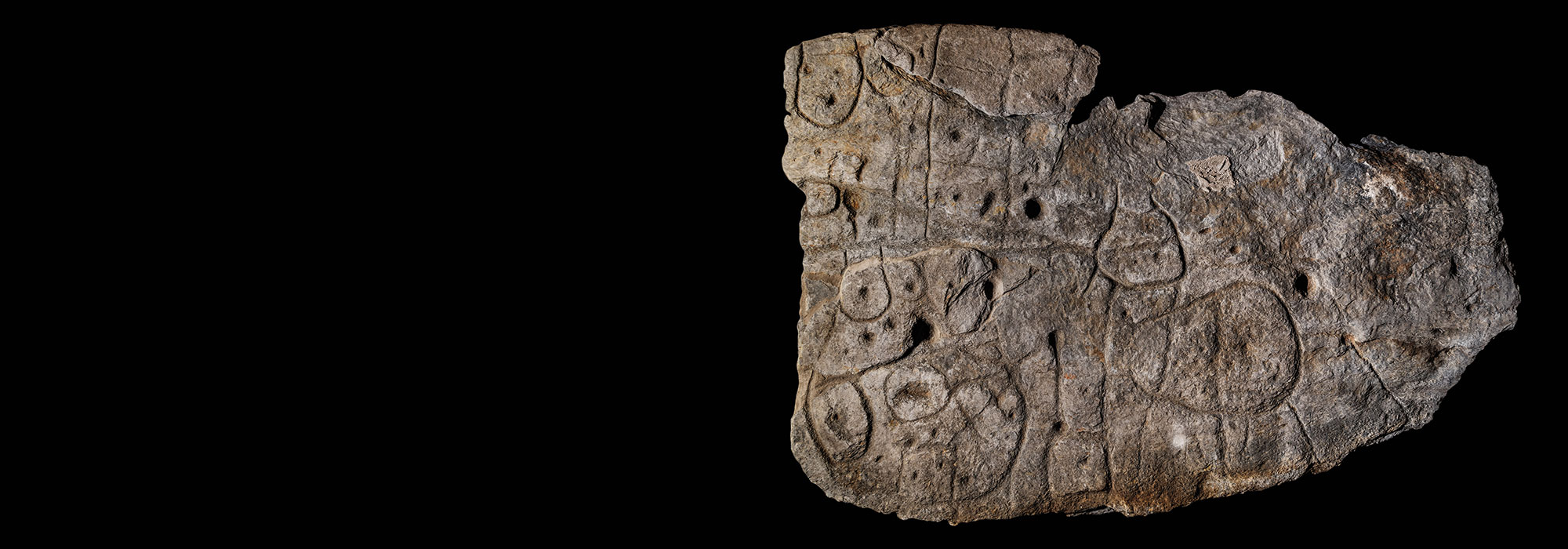
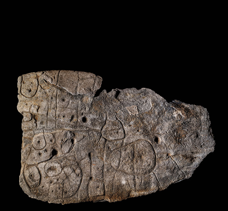
When a team of researchers led by Clément Nicolas, an archaeologist at Bournemouth University, first saw archival photographs of a broken schist slab held at France’s National Archaeology Museum, they were intrigued. Because the seven-by-five-foot slab was carved with repeated motifs linked by a network of lines, they suspected it might be some sort of map. The slab had been excavated in 1900 from a barrow in Brittany, where it formed one of the walls of a stone tomb dating to the end of the Early Bronze Age, from roughly 1900 to 1640 B.C. The artifact, which weighs more than a ton, had been in storage for over a century when Nicolas and his colleagues, including Yvan Pailler of the University of Western Brittany and France’s National Institute of Preventive Archaeological Research, retrieved it to take a closer look.
The archaeologists recognized that a triangular hollow at the slab’s left edge resembles the shape of the Odet River Valley near where it was discovered. A square motif in this hollow appears to represent a prominent granite mass in the landscape. Likewise, the lines on the slab closely match the area’s river network. Nicolas’ team concluded that the slab is a map of an area measuring some 19 miles by 13 miles and that it dates to approximately 2150 to 1600 B.C. “This is the oldest map of a territory that we can recognize in Europe,” says Nicolas. A motif in the center of the slab may mark an enclosure, leading the researchers to suggest that the map depicts the realm of a small Bronze Age kingdom and that its purpose was to stake a claim to this territory.
