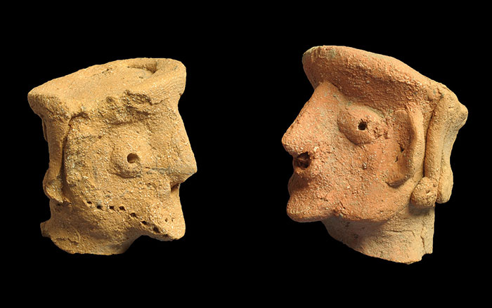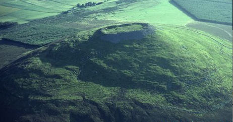
OXFORD, ENGLAND—Citizen-scientists are asked to work together to map every Iron Age hill fort across Britain and Ireland for the Atlas of Hillforts, a project at the University of Oxford. There could be as many as 5,000 of these structures, but little is known about how they were used and how that use varied across the country. “We have found pottery, metalwork and evidence of domestic activities like spinning and weaving, also of agriculture, crops like wheat and barley and of keeping pigs, sheep and cattle,” said Gary Lock of the University of Oxford. The hill forts may have been used as gathering places for market days or religious festivals, rather than as military outposts. Volunteers are asked to share the information they collect by filling out a form on the project’s website. The maps will eventually be available to the public.