JOHANNESBURG, SOUTH AFRICA—Live Science reports that a team of researchers led by archaeologist Karim Sadr of the University of the Witwatersrand has created a map of the ruined city of Kweneng using lidar technology. Located in what is now the Suikerbosrand Nature Reserve, Kweneng is thought to have been built by the Tswana, whose descendants still live in the region. The site, which is covered by a thick layer of vegetation, was discovered during an aerial survey in 1968. The new study indicates that it includes three times as many structures as previously thought. Sadr and his team estimate the city was founded in the fifteenth century and occupied into the nineteenth century, based on the architectural style of the structures. The researchers note that at the city’s peak in the early nineteenth century, it contained between 800 and 900 stone-walled compounds, each of which may have housed several families. To read about another recent discovery in South Africa, go to “Oldest Sketch,” which was one of ARCHAEOLOGY's Top Ten Discoveries of 2018.
Lidar Survey Reveals Size of Pre-Colonial City in Southern Africa
News February 6, 2019
SHARE:
Recommended Articles
Artifacts March/April 2022
Paleolithic Beads
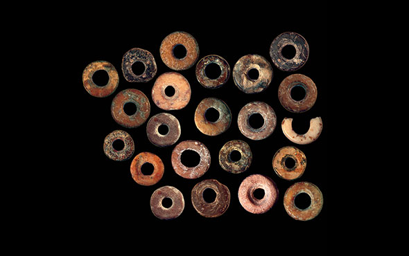
(Jennifer Miller)
Digs & Discoveries May/June 2021
Ship of Ivory
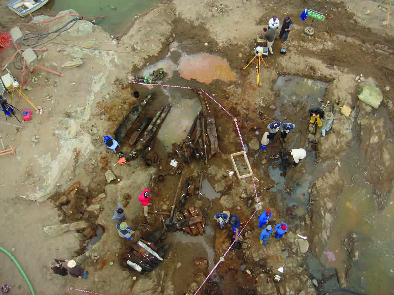
(National Museum of Namibia, Windhoek)
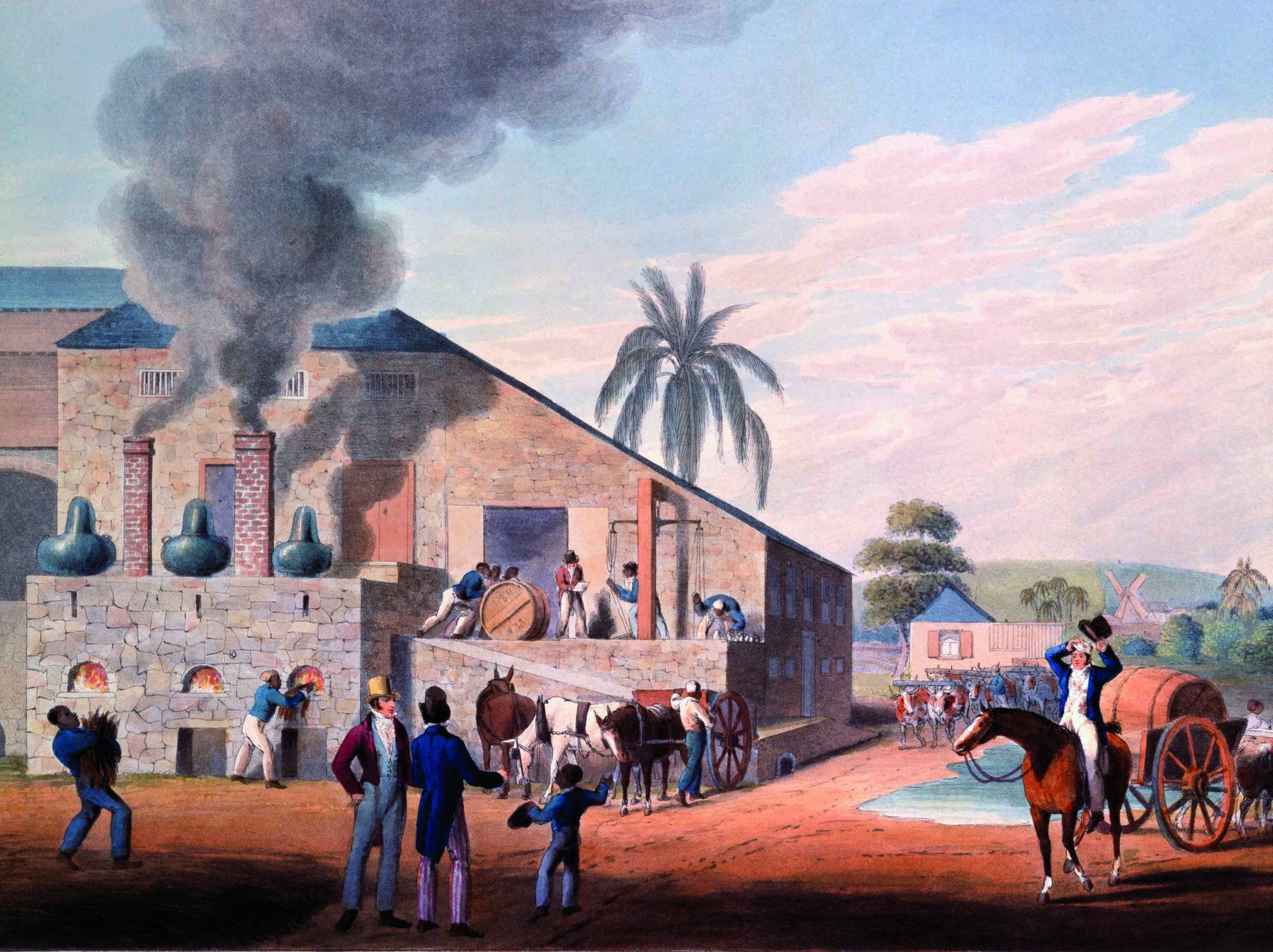
(The Stapleton Collection/Bridgeman Images)
Digs & Discoveries May/June 2020
Scaredy Cats

(blickwinkel / Alamy Stock Photo)
-
Features January/February 2019
A Dark Age Beacon
Long shrouded in Arthurian lore, an island off the coast of Cornwall may have been the remote stronghold of early British kings
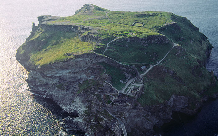 (Skyscan Photolibrary/Alamy Stock Photo)
 -
Letter from Leiden January/February 2019
Of Cesspits and Sewers
Exploring the unlikely history of sanitation management in medieval Holland
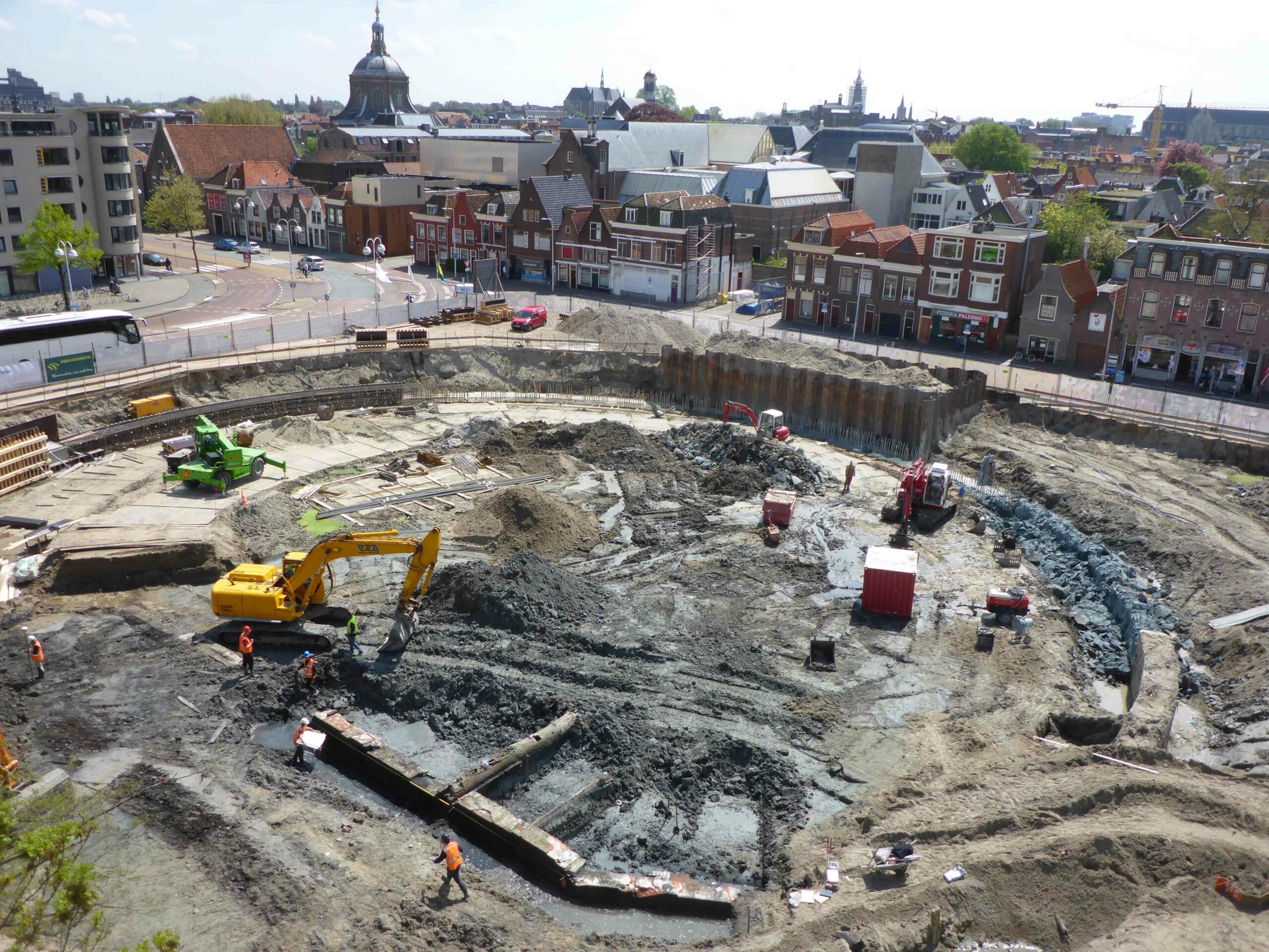 (Photo by BAAC Archeologie en Bouwhistorie)
 -
Artifacts January/February 2019
Neo-Hittite Ivory Plaque
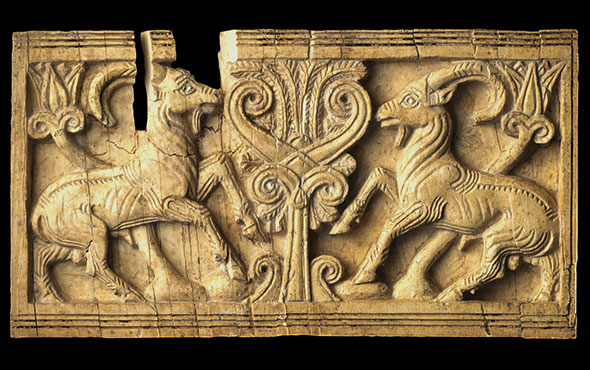 (Copyright MAIAO, Sapienza University of Rome/Photo by Roberto Ceccacci)
 -
Digs & Discoveries January/February 2019
The Case of the Stolen Sumerian Antiquities
 (© Trustees of the British Museum)


