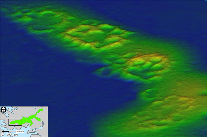
GAINESVILLE, FLORIDA—The Guardian reports that Terry E. Barbour and Ken Sassaman of the University of Florida used drones outfitted with lidar scanners to create 3-D maps of an archaeological site covered with dense foliage on Raleigh Island, which is located off northern Florida’s Gulf Coast. The researchers said that the settlement, which dates to between A.D. 900 and 1200, is made up of 37 residential areas enclosed with ridges made of oyster shells standing up to 12 feet tall. Test excavations at the site uncovered evidence of large-scale bead production in the form of stone tools, mollusk shells, and white beads thought to have been used in ritual interactions between members of the community. “The discovery of possible bead production may provide information on past societies in eastern North America—and how beads were integral to social capital,” Sassaman said. To read about a 7,200-year-old burial ground off Florida's Gulf Coast, go to "Afterlife Under the Waves."


