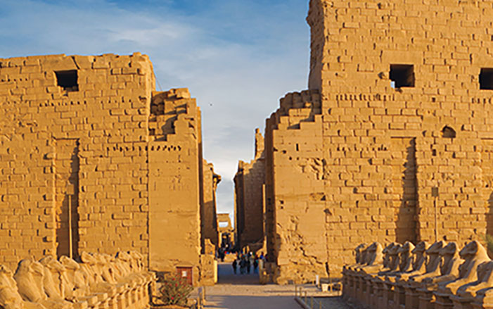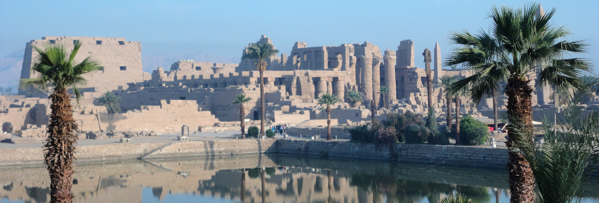
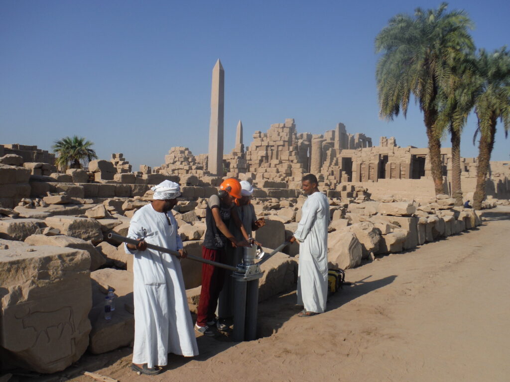
SOUTHAMPTON, ENGLAND—According to a statement released by the University of Southampton, a geoarchaeological survey of Luxor’s Karnak Temple has traced the evolution of the site over a 3,000-year period. Researchers led by Uppsala University archaeologist Angus Graham analyzed thousands of pottery fragments and the contents of 61 sediment cores taken from the temple site, which now lies some 500 yards to the east of the Nile River. The study found that prior to 2520 B.C., the waters of the Nile regularly flooded the site, making it uninhabitable until new river channels eventually created an island of high ground. The oldest ceramic fragments in the area have been dated to between 2305 and 1980 B.C., making the earliest occupation possible during the Old Kingdom (ca. 2649–2150 B.C.). As the river channels diverged, the island became larger, allowing the temple complex to grow. “The river channels surrounding the site shaped how the temple could develop and where, with new construction taking place on top of old rivers as they silted up,” said archaeologist Dominic Barker of the University of Southampton. The Egyptians also shaped the island by dumping sand from the desert into the channels, he added. This process may have even been reflected in an ancient Egyptian creation story. “Later texts of the Middle Kingdom (ca. 1980–1760 B.C.) develop this idea, with the ‘primeval mound’ rising from the ‘Waters of Chaos,’" said geoarchaeologist Ben Pennington of the University of Southampton. Read the original scholarly article about this research in Antiquity. To read about excavations of a later chapel at Karnak, go to "Honoring Osiris."