New 3-D Map of USS Hatteras Released

News January 15, 2013

(Copyright Tom Freeman — Released for Media Use)
SHARE:
USS-Hatteras
(Copyright Tom Freeman — Released for Media Use)

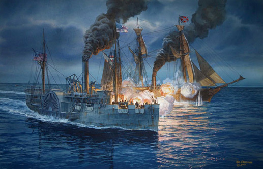
WASHINGTON, D.C.—High-resolution sonar was used to produce a 3-D map of the USS Hatteras, the only Union warship sunk by the Confederacy in the Gulf of Mexico, where Union ships had set up a blockade to prevent goods from traveling in and out of Galveston, Texas, during the Civil War. The ship’s paddlewheel is well preserved, although damage to its steering column and the engine room is visible. “We have a three-dimensional map that not only provides measurements and observations, but the ability for researchers and the public to virtually swim through the wreck’s exposed remains and even look below the surface at structure buried in loose silt,” said James Delgado of the National Oceanic and Atmospheric Administration’s Office of National Marine Sanctuaries.

  • Features November/December 2012

    Zeugma After the Flood

    New excavations continue to tell the story of an ancient city at the crossroads between east and west

    Read Article
    Photo of Belkıs/Zeugma
    (Hasan Yelken/Images & Stories)
  • Letter from India November/December 2012

    Living Heritage at Risk

    Searching for a new approach to development, tourism, and local needs at the grand medieval city of Hampi

    Read Article
    (Gethin Chamberlain)
  • Artifacts November/December 2012

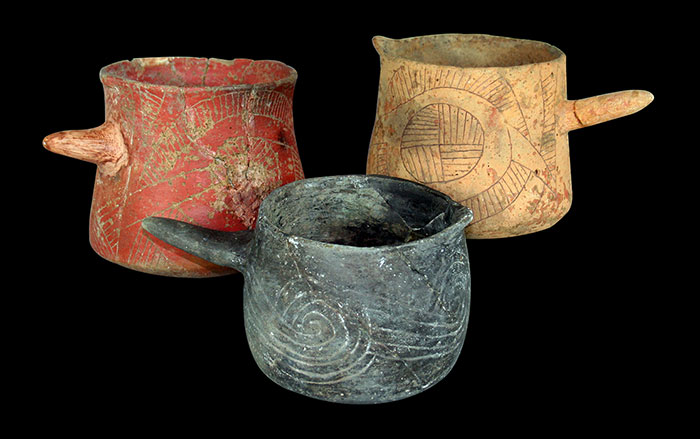
    Beaker Vessels

    Ceramic beakers were the vessels of choice for the so-called “Black Drink” used at Cahokia by Native Americans in their purification rituals

    Read Article
    (Linda Alexander, photographer, use with permission of the Illinois State Archaeological Society)
  • Digs & Discoveries November/December 2012

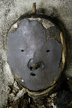
    The Desert and the Dead

    Read Article
    chinchorro-mummy
    (Courtesy Bernardo Arriaza)