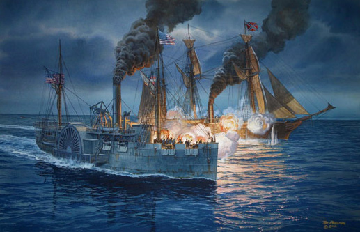
WASHINGTON, D.C.—High-resolution sonar was used to produce a 3-D map of the USS Hatteras, the only Union warship sunk by the Confederacy in the Gulf of Mexico, where Union ships had set up a blockade to prevent goods from traveling in and out of Galveston, Texas, during the Civil War. The ship’s paddlewheel is well preserved, although damage to its steering column and the engine room is visible. “We have a three-dimensional map that not only provides measurements and observations, but the ability for researchers and the public to virtually swim through the wreck’s exposed remains and even look below the surface at structure buried in loose silt,” said James Delgado of the National Oceanic and Atmospheric Administration’s Office of National Marine Sanctuaries.