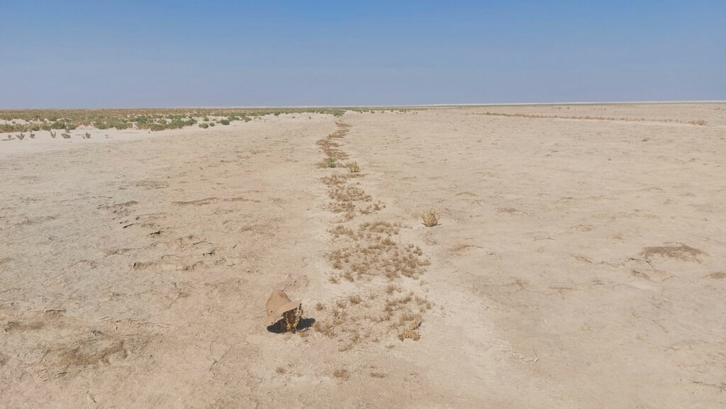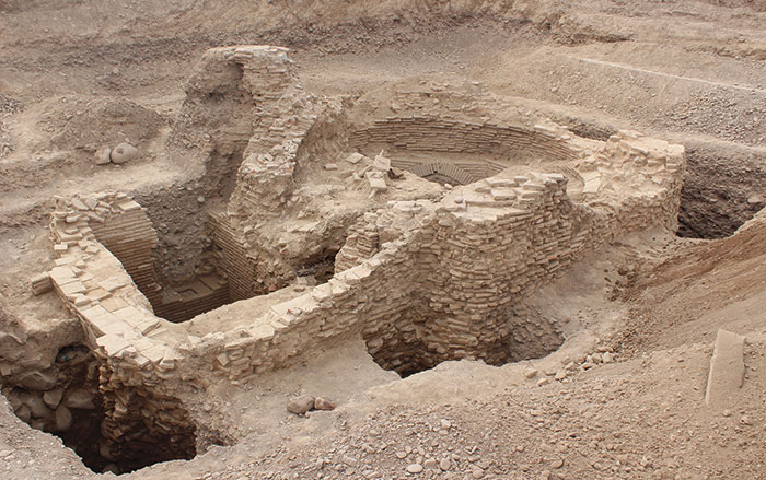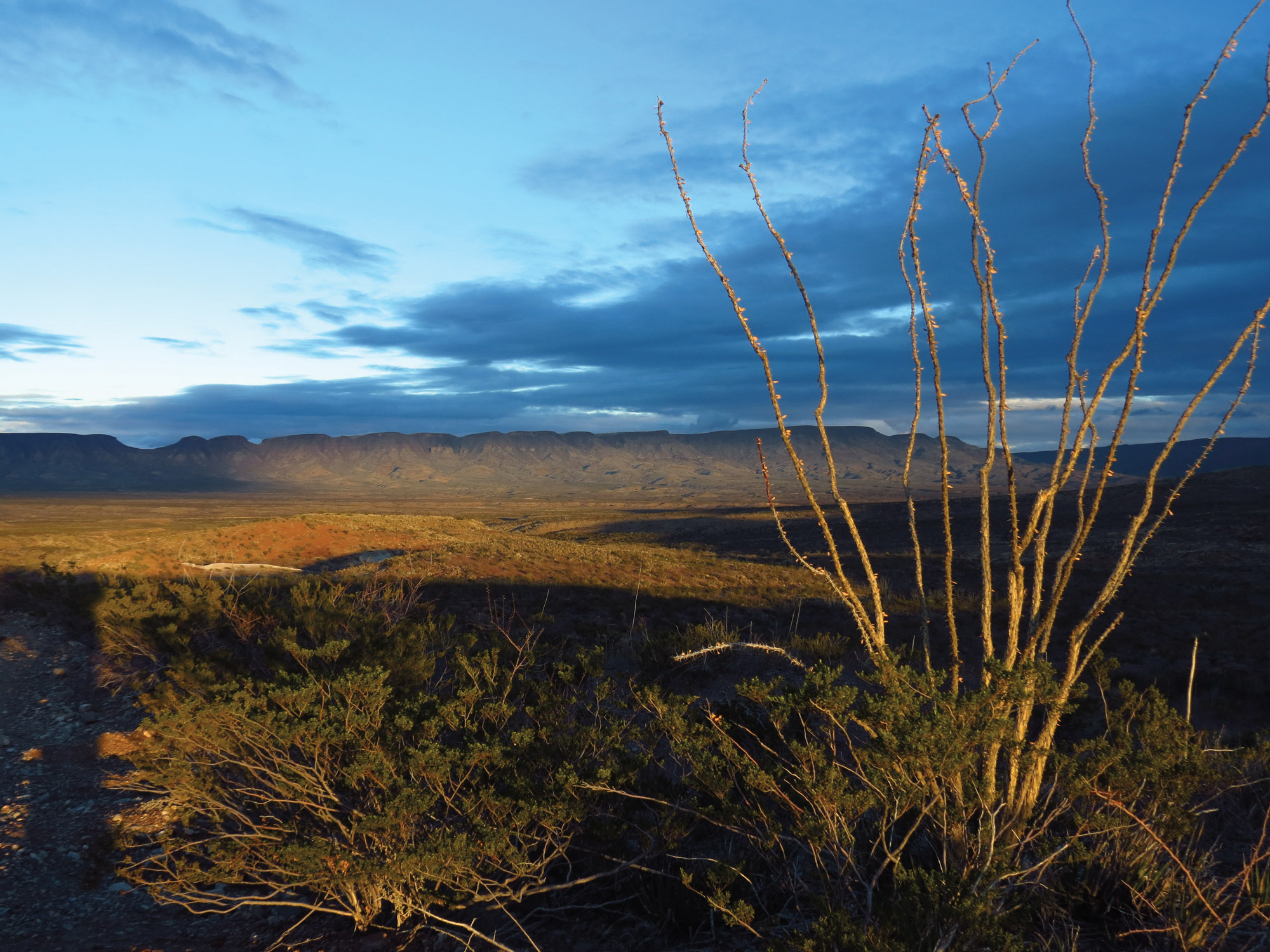
ERIDU, IRAQ—An international team of archaeologists and anthropologists have remarkably mapped more than 4,000 irrigation canals near the ancient Sumerian city of Eridu, La Brújula Verde reports. Eridu is the southernmost of all the great Mesopotamian cities and is traditionally considered the oldest city in the world based on the Sumerian King List. The site is located along the Euphrates River and was inhabited from the sixth through the first millennium b.c. Like so many other ancient Mesopotamians, the inhabitants of Eridu depended heavily on the river to sustain their way of life. They designed and dug a massive network of canals that researchers have documented using geomorphological analysis, remote sensing, and satellite imagery. There were as many as 200 primary canals, some which of were five and one-half miles long, and more than 4,000 smaller canals that channeled much-needed water to agricultural fields. The team also identified 700 farmsteads oriented around this irrigation system, revealing an intensely engineered and farmed landscape. Unfortunately, during the first millennium b.c., the Euphrates River changed course away from Eridu, which led to the city’s abandonment. Read the original scholarly article about this research in Antiquity. To read about a third-millennium b.c. canal uncovered in southern Iraq, go to "Girsu's Enigmatic Construction."