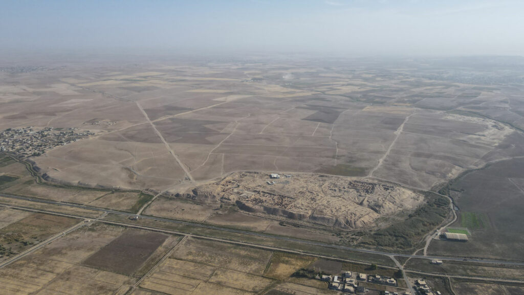

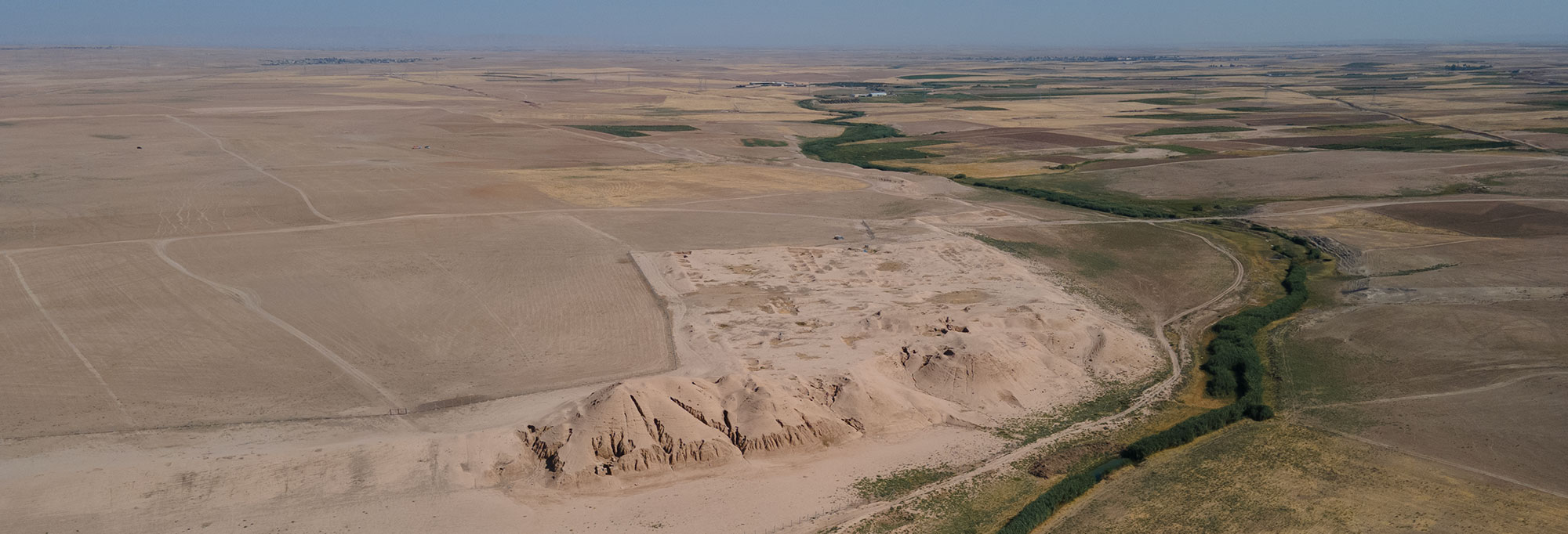
UDINE, ITALY—La Brújula Verde reports that a team of researchers led by Daniele Morandi Bonacossi and Francesca Simi of the University of Udine have created a high-resolution map of the more than 800 acres surrounding the acropolis mound of Nimrud, an Assyrian capital in northern Iraq. This area, once protected by nearly five miles of defensive walls, was home to most of the ancient city’s population. The goal of the Nimrud Lower Town Archaeological Project (NiLTAP) is to reconstruct the daily life of these merchants, artisans, and non-elites of the Assyrian Empire. First, the researchers examined declassified satellite images, which revealed that the layout of the lower city was made up of well-preserved walls, gates, streets, and residential areas. Then they employed a differential global positioning system and a drone to produce a digital terrain model. A walking survey was then conducted to collect and map visible pottery fragments covering the entire city area. All of this data was combined and analyzed to reveal the distribution of settlements over the site from the third millennium B.C. through the Islamic period. Finally, a geophysical survey was conducted in several areas of the lower city, confirming the presence of streets, neighborhoods, large building complexes, walls, kilns, and pits. The team members plan to make additional geophysical surveys of the ancient city and verify their findings with excavations. Read the original scholarly article about this research in Antiquity. To read about plant DNA extracted from a brick excavated at Nimrud, go to "Ancient DNA Revolution: Modeling Assyrian DNA."